What is recorded here
On a low but prominent hill in pasture, overlooking Killeen Lough c. 320m to the SW. Depicted on the 1837 edition of the OS 6-inch map as a rectangular enclosure named ‘Castle’ and ‘Bawn’ (LF010-029002-). The monument has been levelled and, apart from large quantities of loose stone on the hill from SW–W–N, no visible surface trace survives. A rectangular area (6.3m NE–SW; 2.2m NW–SE), which is c. 0.2m lower than the external ground level, was noted c. 6m to the SE of the highest point of the hill. Its NE and NW sides are well defined but only the outline of the SE and SW sides are identifiable. It is unclear whether this feature is associated with the castle or bawn or whether it is the result of quarrying.
Compiled by: Patrick F. O'Donovan
Date of upload: 3 October 2012
Built as a defensive structure during the late medieval period, likely by a local Gaelic lord or Anglo-Norman settler in the 15th or 16th century. It is remembered for its strategic position overlooking Killeen Lough, which would have provided both defensive advantages and control over local trade or movement routes.
The monument record does not grant public access. Check the route and ask the landowner before entering private land.
- What survives
- Recorded monument
Places near here
 BawnBawn · 4 yd
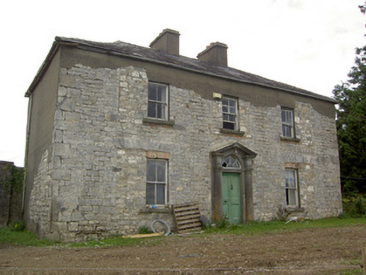 Ballinlough Househouse · 689 yd
 BarrowBarrow, unclassified · 1148 yd
 Water millWater mill, unclassified · 1525 yd
 Lismacaffry FortFairy fort / earthen ringfort · 1633 yd
 Cloonfin WoodForest · 1.1 mi
 Clonfin Ambush MemorialMemorial · 1.8 mi
 InchmoreIslet · 2.6 mi
 CastleCastle, unclassified · 3.1 mi
 Granard MotteMotte-and-bailey castle remains · 3.1 mi
 Derrycassan WoodsWood · 3.1 mi
 1798 Monumentmonument · 3.1 mi