What is recorded here
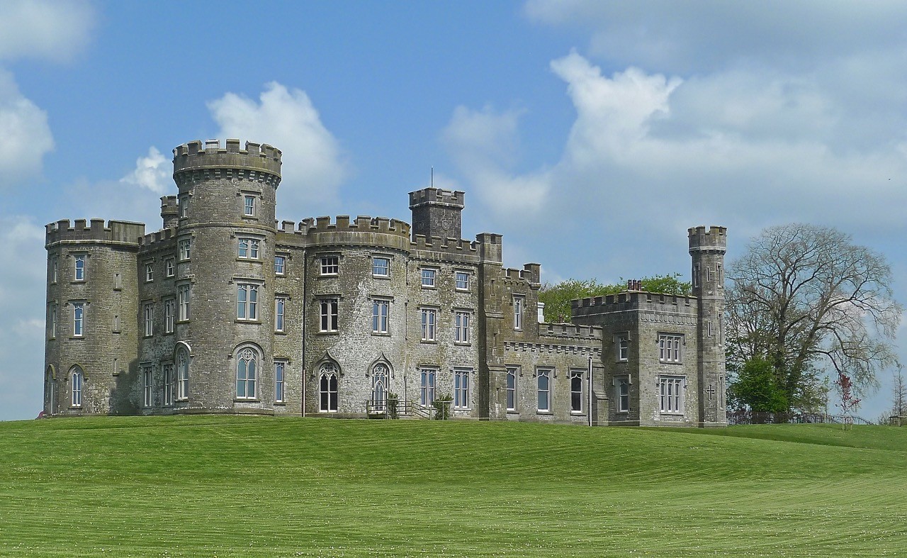
Castle Brottonstown Little was a fortified residence occupying a visible ridge above ordinary farmland. Its rectangular frame and projecting staircase tower suggested a family home built to watch the land rather than a distant military fortress. Alexander Hope owned the place during the turbulent years of 1641, perhaps standing at those gaps to read weather, danger or arrival in the open distance.
Situated on a low rise, in pasture, with good views in all directions. Depicted on the 1837 ed. OS 6-inch map as a rectangular structure aligned NNE-SSW annotated ‘Castle’. Levelled castle described in 1978 as only the grass-covered wall footings survive of a rectangular-shaped building (18m NE-SW; 8m NW-SE). Some large stones and boulders are visible in the remains of the walls (H 0.5-1m). There is a gap midway along the NW wall and a second gap at the SW end of the SE side. There is a small rectangular annex (dims. 8m NE-SW; 5m NW-SE) or tower projecting out mid-way along the SE side, this may have been a tower for a staircase to give access to a first floor level There is slight trace of a separate wall footing which runs parallel to the main structure, c. 3m to NW. There is no obvious trace of any surrounding earthworks. Old cultivation ridges running NE-SW are visible in the surrounding fields. The wall footing of a long, rectangular structure (dims. 10m N-S; 4m E-W) lies to SW of the main building, which may be the remains of some form a garden boundary feature. The slight remains of an annex (dims. 4m E-W; 3m N-S) adjoin the northern end. A low bank with the remains of a wall footing at S enclose a small area adjoining the W side of the structure.
The site does not resemble the remains of tower house and may be the remains of a 16th-17th century fortified T-plan house. No castle is depicted in this townland of on the 17th century Down Survey map of Mullingar parish (NLI, MS 723-4). In 1641 the lands of Brottonstown Little belonged to Alexander Hope who is listed as an 'Irish papist' (ibid.). Levelled castle is visible as the outline of a rectangular structure on Digital Globe aerial photography.
See attached sketch plan of levelled house.
Compiled by: Alison McQueen, Vera Rahilly and Caimin O’Brien
Date of upload: 11 February 2019
The monument record does not grant public access. Check the route and ask the landowner before entering private land.
- What survives
- Recorded monument
Places near here
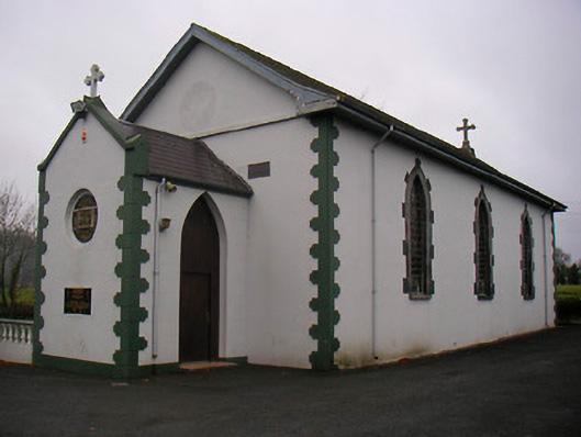 Catholic Church of the Little Flower and Our Lady of Good Counselchurch/chapel · 690 yd
 Cross in Tuitestown (moyashel & Magheradernon By.)Cross · 842 yd
 Fieldtown CastleCastle · 1031 yd
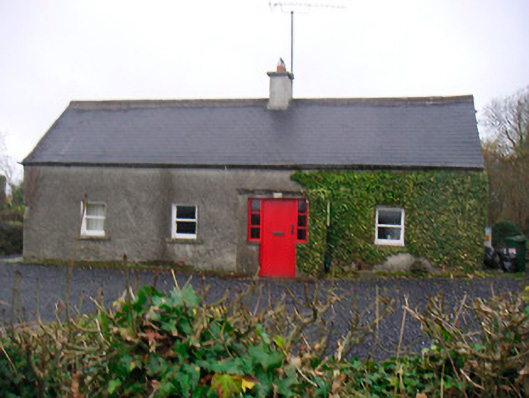 Bushmills Cottagehouse · 1477 yd
 Bawn in Tuitestown (moyashel & Magheradernon By.)Bawn · 1537 yd
 WestmeathVisitor information · 1663 yd
 Enclosure in ShanonaghEnclosure · 1.3 mi
 Ancient Ring FortWood · 1.9 mi
 Carrickphilbin IslandIslet · 4.1 mi
 Srudarra IslandIslet · 4.3 mi
 Hill of UisneachMountain / peak · 4.4 mi
 European ashEuropean ash · 5.3 mi
Other information
Photo: Credit not shown in the picture search · Rights wording not checked; contact us if this picture should be removed