
What is recorded here
Castle Balreask stands as a grassy rectangle in County Meath, its low banks and surrounding fosse preserving the outline of a stone house once owned by Sir Edward Bolton. The structure lost its roof long before surveyors marked it, yet the earth still holds the shape of a residence that may have welcomed guests or withheld them behind heavy doors. Time has stripped the castle to a shadow on the ground, waiting for someone to imagine the life that disappeared inside its boundaries.
A roofless structure is depicted at Ballrisken on the Down Survey (1656-8) barony map of Deece (http://downsurvey.tcd.ie/). According to the Civil Survey (1654-6) Sir Edward Bolton owned 140 acres there in 1640 and on the premises was ‘a stone house’ (Simington 1940, 136). It is described as a ‘Castle’ on the 1836 and 1908 eds of the OS 6-inch map but with no precise location. This is a rectangular, grass-covered area (22m ENE-WSW, 14m NNW-SSE) defined by low banks (Wth c. 5m; int. H 0.3m; ext. H 0.6m) with a fosse (Wth c. 5m) running past the N edge of the area.
The above description is derived from the published 'Archaeological Inventory of County Meath' (Dublin: Stationery Office, 1987). In certain instances the entries have been revised and updated in the light of recent research.
Compiled by: Michael Moore
Date of upload/revision: 9 June 2016
Sir Edward Bolton held land at Ballrisken, including a castle, in the 1640s. The site is remembered through 17th-century surveys that document land ownership during the turbulent period of Confederate Ireland.
The monument record does not grant public access. Check the route and ask the landowner before entering private land.
- What survives
- Recorded monument
Places near here
 Enclosure in Balreask (deece Lower By.)Enclosure · 630 yd
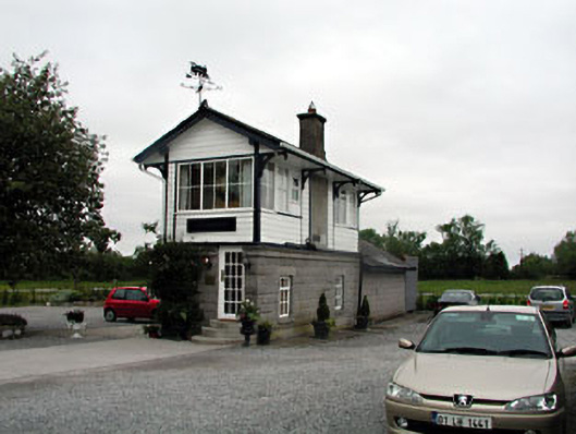 signal boxsignal box · 1729 yd
 AbbeyReligious house, Cistercian monks · 1739 yd
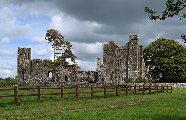 IndicatedCastle, tower house · 1744 yd
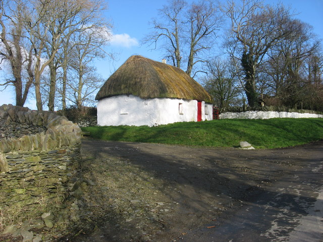 Enclosure in Balgeeth (deece Lower By.)Enclosure · 1.1 mi
 Assey CastleCastle, tower house · 1.2 mi
 Small-leaved ElmSmall-leaved Elm · 1.5 mi
 European BeechEuropean Beech · 1.7 mi
 Battle of Tara (Ireland)Major battlefield · 2.8 mi
 Battle of Tara Hillbattle · 2.8 mi
 Saint Patrick'sMemorial · 2.9 mi
 Hill of TaraVisitor information · 2.9 mi
Other information
Photo: Credit not shown in the picture search · Rights wording not checked; contact us if this picture should be removed