What is recorded here
Marked as a small circular structure described as a Castle on the 1840 ed. of the OS 6-inch map, and described as a disused corn mill on the 1950 ed. Situated on low-lying ground c. 100m from the SW-NE St John's river. It is described locally as a circular tower which was removed in the 1970s.
Compiled by: Michael Moore
Date of upload: 26 August 2010
The monument record does not grant public access. Check the route and ask the landowner before entering private land.
- What survives
- Recorded monument
Places near here
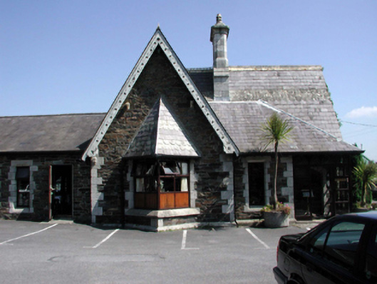 Holy Ghost HospitalOfficially recorded historic building · 83 yd
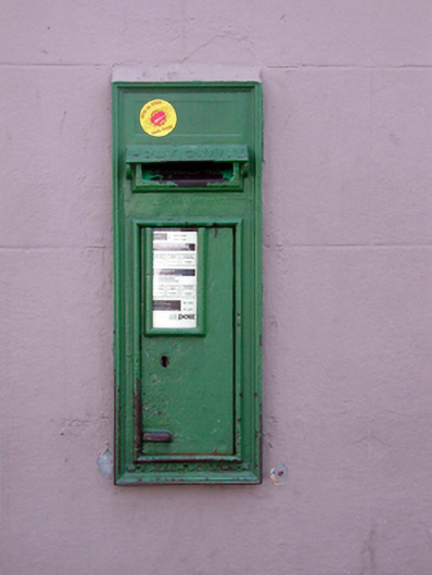 post boxpost box · 356 yd
 French TowerHeritage attraction · 715 yd
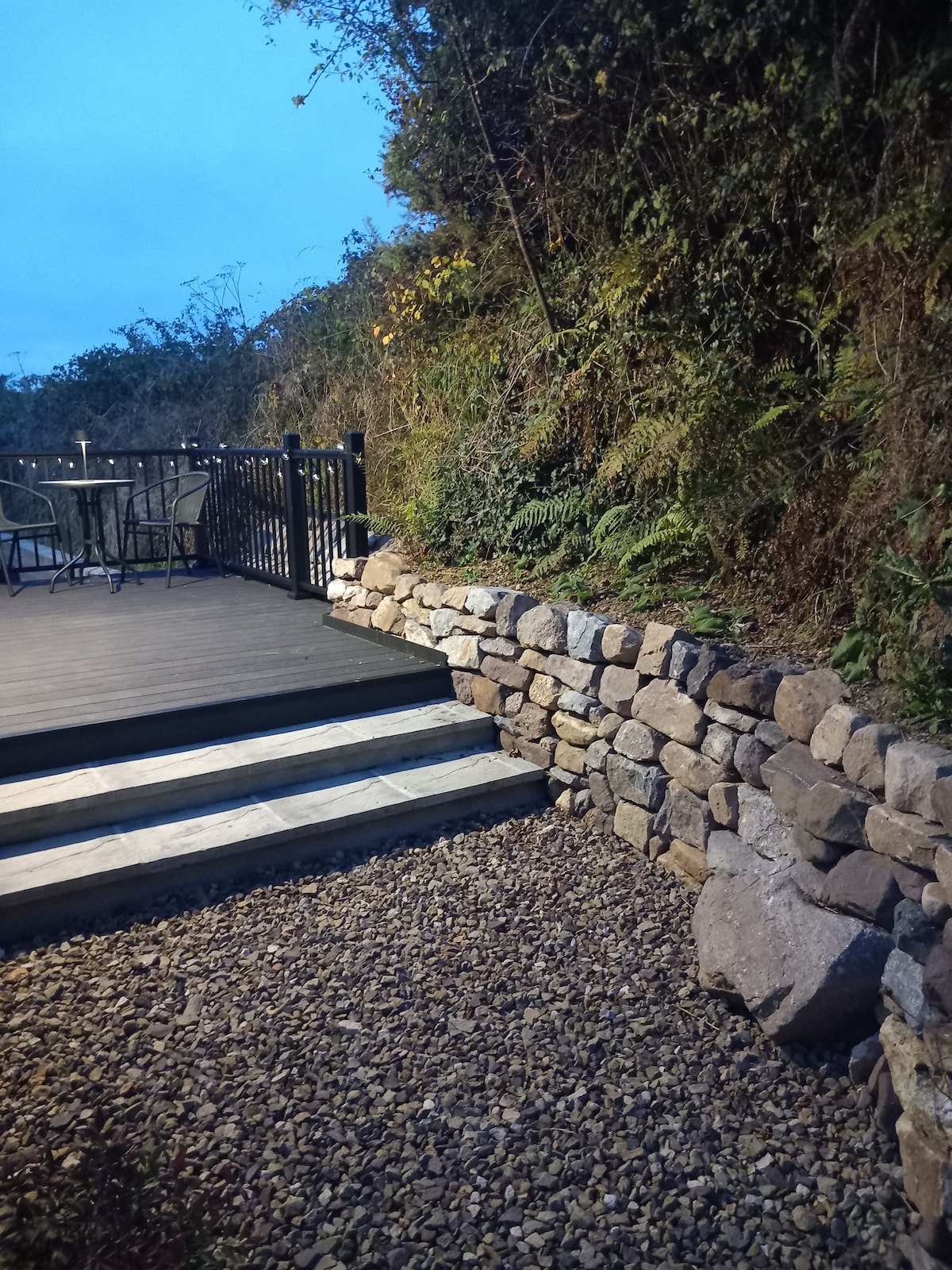 Hearth in KilcohanHearth · 1.2 mi
 Fulacht fia in CoveFulacht fia · 1.4 mi
 Native Woodland Trust:Grace Dieu ReserveWood · 2.6 mi
 Native Irish Tree TrailWood · 2.7 mi
 Granny CastleCastle, tower house · 2.7 mi
 Sugar Loaf RockMountain / peak · 3.7 mi
 Corluddy Castle (in Ruins)Castle, tower house · 3.9 mi
 Mount Congreve GardensHeritage attraction · 4.2 mi
 Ballyscanlon HillMountain / peak · 7.3 mi