What is recorded here
Castle Balleagny stands as a ruined fortified house in County Westmeath, its lowest storey still showing thick limestone walls and corner turrets. The NE turret holds the base of a spiral staircase, while collapsed masonry and trees now fill the interior. It appeared on maps as early as 1837 and may have belonged to Sir Oliver Tuite in 1641, suggesting a long line of occupants who defended, lived or simply forgot the place beneath soil and shade.
Situated in an old farmyard approximately 12m N of a dwelling house. Ringfort (WM018-108----) and house site (WM018-109----) are c. 115m to N and NE, respectively. Depicted on the 1837 ed. OS 6-inch map as the outline of a rectangular-shaped structure, annotated ‘Castle’, with a farm building running S off the E end of the S wall of the castle. Depicted on the OS 25-inch map as a sub-rectangular-shaped structure with rounded corners at SW, NW and NE with a farm building built up against external face of E and S wall. No castle depicted in the townland of Balleagny on the Down Survey map of Mullingar parish (NLI, MS 723-4). The terrier of this map recorded that in 1641 the lands of Balleagny belonged to Sir Oliver Tuite (ibid.). Ballegan Castle is depicted on an estate map of Sonna Demesne (NLI, MS 21 F. 48 (018) ).
Balleagny Castle described in 1980 as the ruins of a roughly rectangular building (approx. dims. 15m NE-SW; 9m NW-SE) aligned E-W with small projecting semi-circular-shaped towers on NE and SW corners. The walls are constructed of undressed limestone laid in irregular courses and bonded with mortar. The interior is partly filled with collapsed, sod-covered masonry and is overgrown with trees. Castle described by Salter (2004, 145) as following; 'Only the very defaced lowest storey remains of a tower 12.7m long by 9m wide over walls 1.8m thick with traces of three loops. There are circular turrets 5m in diameter at the SW and NE corners, the latter containing the lowest part of a spiral staircase'.
A modern field wall runs NW from the NE corner as shown on the 25-inch OS map. Possible earthworks (WM018-110001-) visible in the vicinity of the castle to SW and S. Monument is visible as a roughly rectangular-shaped area obscured by trees on Digital Globe aerial photography.
Compiled by: Alison McQueen, Vera Rahilly and Caimin O’Brien
Date of upload: 08 February 2019
The monument record does not grant public access. Check the route and ask the landowner before entering private land.
- What survives
- Recorded monument
Places near here
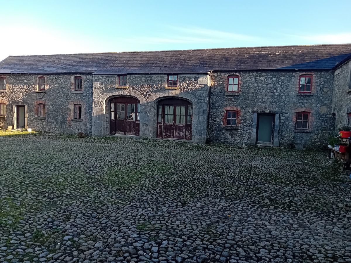 Bawn in BalleagnyBawn · 13 yd
 Enclosure in BalleagnyEnclosure · 490 yd
 27th Lock Keep's HouseRuins · 494 yd
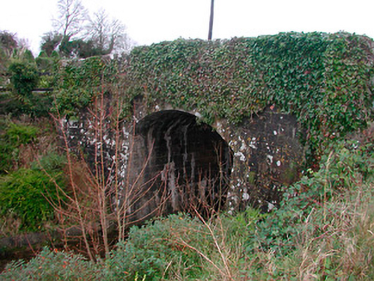 Coolnahay Bridgebridge · 738 yd
 WestmeathVisitor information · 764 yd
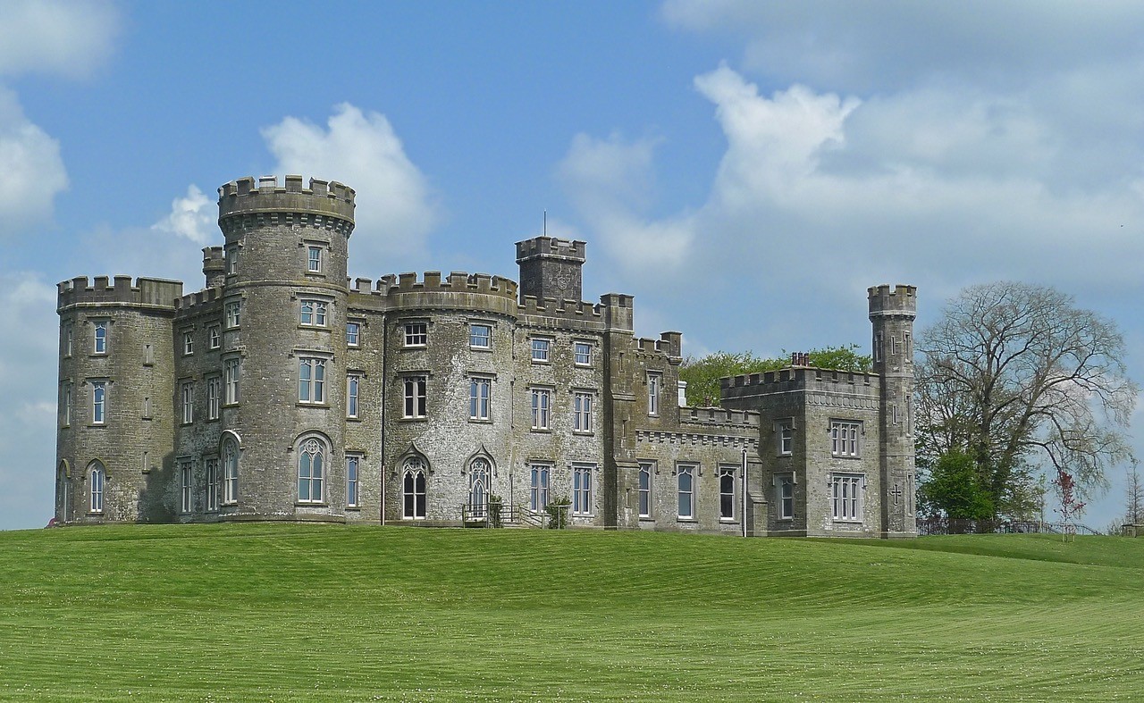 CastleHouse, fortified house · 1.0 mi
 Cross in Tuitestown (moyashel & Magheradernon By.)Cross · 1.1 mi
 Ancient Ring FortWood · 2.3 mi
 Carrickphilbin IslandIslet · 3.7 mi
 Srudarra IslandIslet · 4.1 mi
 Hill of UisneachMountain / peak · 4.6 mi
 Baronstown ForestWood · 4.8 mi