What is recorded here
Cashlaunycronaghan is a small rectangular cairn built on a steep rock outcrop in County Kerry, named for O'Cronaghan's Castle though it never looked like castle ruins. It sits at the edge of cliffs and gorse, marked by a boundary wall between Dromcarban and Curreal, as if somebody had stacked stones there to claim a place rather than build a home. The name suggests pride, ownership or memory, while the shape resists easy belief.
In gorse-covered commonage, at the edge of a steep-sided craggy rock outcrop with cliffs rising to the E. This cairn (0.8m N-S; 0.55m E-W; H 0.45m), which consists of medium-sized stones, is rectangular in plan and elevation and is built on top of the steep-sided rock outcrop. The townland boundary wall between Dromcarban to the N and Curreal to the S, extends from the E and W sides of the rock outcrop. It is indicated on the 1894-5 OS 6-inch map as 'Cashlaunycronaghan' (meaning O'Cronaghan's Castle). In the 1840s the cairn was described as 'a large pile of stones heaped on top of each other' though it did 'not appear to be the ruins of an old castle (OSNB, Killaha, no. 2, 10, 17).
Compiled by: Elizabeth Byrne, Ursula Egan and Sheila Ronan, Archaeological Survey Unit, University College, Cork.
Date of upload: 31 January 2011
The monument record does not grant public access. Check the route and ask the landowner before entering private land.
- What survives
- Recorded monument
Places near here
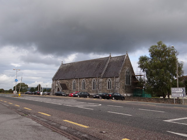 Saint Agatha's Catholic Churchchurch/chapel · 1031 yd
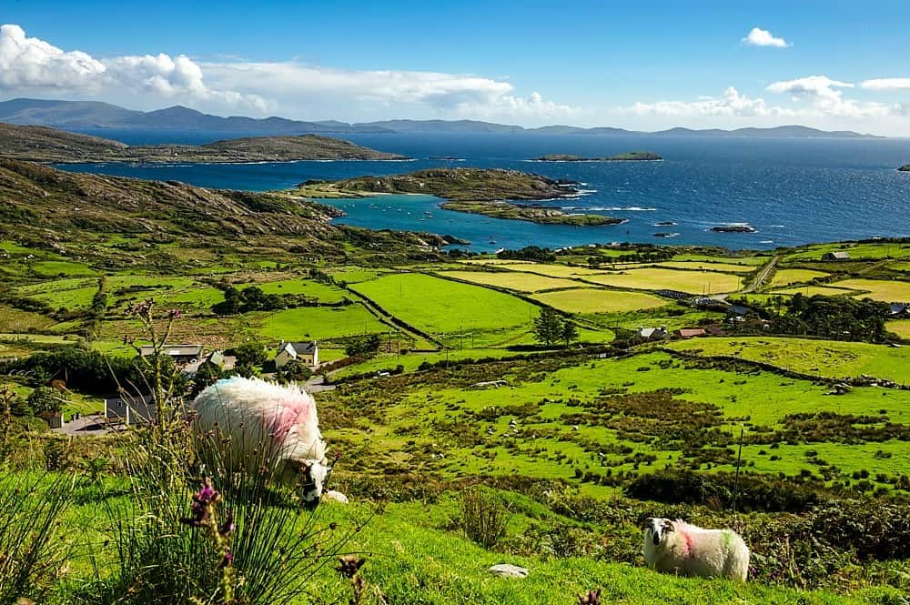 IndicatedChurch · 1541 yd
 Killaha Castle (in Ruins)Castle, tower house · 1.1 mi
 SheepfoldEnclosure · 1.3 mi
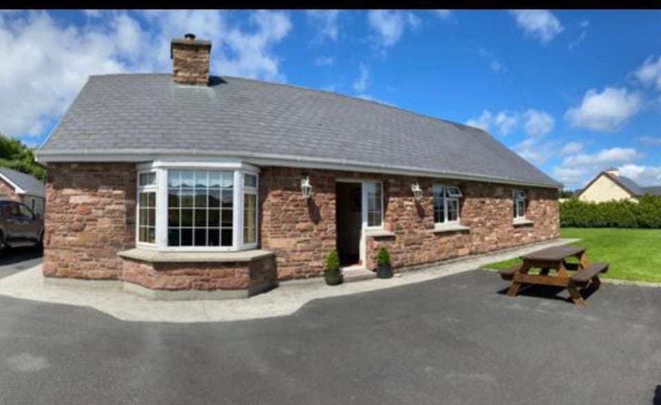 Enclosure in Cools (magunihy By.)Enclosure · 1.7 mi
 CrohaneMountain / peak · 2.3 mi
 Killeen MountainMountain / peak · 2.5 mi
 BarraduffMemorial · 2.9 mi
 Lissivigeen Stone CircleHeritage attraction · 5.0 mi
 Mass RockNamed rock · 5.2 mi
 Flesk CastleCastle · 5.4 mi
 Castlelough BayBay · 6.2 mi