What is recorded here
Cashlaunagur Fort is a circular earthen ringfort in County Mayo, Ireland, marked on maps since 1838. It sits at the break of a low scarp with clear views in every direction, its steep western bank rising against the natural fall of the ground. A two-metre gap at the southeast likely marked the entrance, while stones still protrude through the sod on the bank’s sides. The level interior holds no visible structure, leaving the fort open to wonder rather than certainty.
In undulating, average pasture, located at the break of slope at the NW end of a low natural scarp, with excellent views in all directions. It is located close to the NW boundary of the townland.
This rath is named ‘Cashlaunagur Fort’ on the 1838 and 1929 OS 6-inch maps. It consists of a raised circular area (21.5m E–W; 23.6m N–S) defined by a bank (Wth 3.5m; int. H 0.3-0.5m; ext. H 0.9m at SE, 1.5m at NW) of earth and stone. The bank has a low internal face. It has a rather broadly slumped external slope, except at W–NW where it is markedly steep, enhanced by the natural fall of ground. Stones protrude from the sod on the top and sides of the bank.
The interior is level and featureless, with a gap (Wth 2m) at the SE, which most likely marks the original entrance.
The ephemeral outline of a roughly square area (18m NW–SE; 17.6m NE–SW), defined by remnants of a field bank, is appended to the rath bank at NE; it appears to be a small field plot of relatively recent date.
Compiled by: Jane O’Shaughnessy
Date of upload: 2 May 2019
The monument record does not grant public access. Check the route and ask the landowner before entering private land.
- What survives
- Recorded monument
Places near here
 IndicatedFairy fort / earthen ringfort · 338 yd
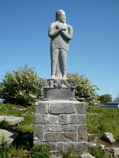 Grave monumentGrave monument · 448 yd
 Site of ChurchChurch · 463 yd
 CastleCastle, unclassified · 906 yd
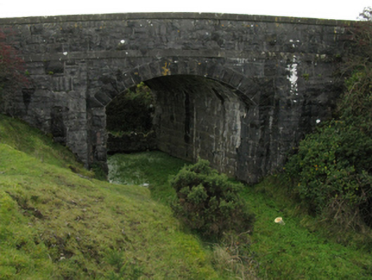 bridgebridge · 964 yd
 Battlefields of MoyneBattlefield · 1396 yd
 Bawn in Meelick (tirawley By.)Bawn · 1413 yd
 Moyne AbbeyHeritage attraction · 1711 yd
 Gortabradawn PointHeadland · 1.5 mi
 Barnasock PointHeadland · 1.5 mi
 Battle of Killalabattle · 1.5 mi
 Green IslandIslet · 1.6 mi