
What is recorded here
On a slight rise of flat ground in mixed woodland c. 50m fom the W shore of Lough Key opposite Hogs Island. Oval grass-covered area (int. dims. 23m NNE-SSW; 15m WNW-ESE) defined by a moss-covered stone spread (Wth 2.3-3.3m; int. H 0.1-0.2m; ext. H 0.2-0.7m) NE-NNW, but the perimeter is overlaid by an E-W drystone wall at N and there is a N-S drystone wall outside the perimeter at E. Some inner and outer facing stones are visible at E (original Wth 1.8m). The entrance (Wth 2.4m) is at SE and there are animal gaps at SW and E. The interior was used as a childrens burial ground (RO006-005002-) into the 20th century (OS Name Book).
Compiled by: Michael Moore
Date of upload: 24 August 2010
A local fairy fort (ringfort/rath); wider significance not recorded.
The monument record does not grant public access. Check the route and ask the landowner before entering private land.
- What survives
- Recorded monument
Places near here
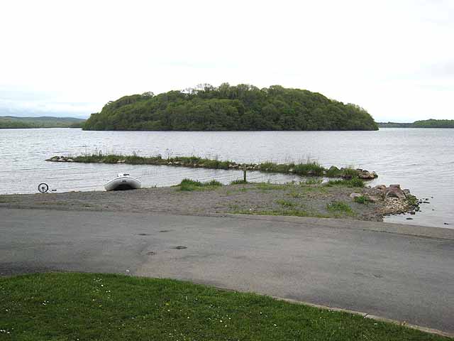 Hog's IslandIslet · 561 yd
 Inchmacnerin Abbey (in Ruins)Religious house, Augustinian canons · 688 yd
 Church IslandIslet · 691 yd
 AbbeyReligious house, Premonstratensian canons · 1462 yd
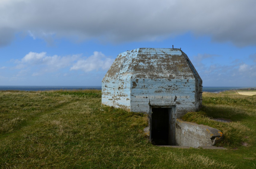 Concentric enclosure in SmutternaghConcentric enclosure · 1.1 mi
 Sweat Ho.Sweathouse · 1.1 mi
 Erris BayBay · 1.1 mi
 The CopseWood · 1.5 mi
 Western RedcedarWestern Redcedar · 1.5 mi
 Lough Key Forest ParkWood · 1.6 mi
 Battle of Curlew PassMajor battlefield · 1.8 mi
 Battle of the Curlew Mountains (1599)Battlefield · 1.8 mi
Other information
Photo: Credit not shown in the picture search · Rights wording not checked; contact us if this picture should be removed