What is recorded here
Situated on a slight N-facing slope in gently undulating pasture. Slightly raised circular area (diam. 32m) enclosed by an un-coursed rubble limestone wall (T 0.8m; H 1.5m). The wall appears to have been reconstructed in recent times and encloses the site E-SW with only the footings of the cashel wall surviving SW-E. Original entrance not recognisable.
Compiled by: Patrick F. O'Donovan
Date of upload: 21 April 2011
A local fairy fort (ringfort/rath); wider significance not recorded.
The monument record does not grant public access. Check the route and ask the landowner before entering private land.
- What survives
- Recorded monument
Places near here
 Church (in Ruins)Church · 667 yd
 Megalithic structure in Ardnaglass UpperMegalithic structure · 780 yd
 Sweathouse in GortnaleckSweathouse · 1264 yd
 BenwiskinMountain / peak · 1.2 mi
 Benwiskin South TopMountain / peak · 1.3 mi
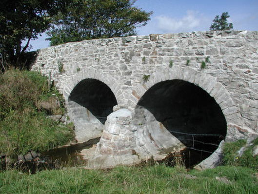 bridgebridge · 1.5 mi
 BenbulbenMountain · 1.8 mi
 Dermot & Grania's BedCave · 1.9 mi
 Gleniff Horseshoe DriveViewpoint · 2.1 mi
 Gleniff Horseshoe Drive 2Viewpoint · 2.2 mi
 InishnagorIslet · 3.1 mi
 Connors IslandIsland · 3.2 mi
Other information
Photo: Credit not shown in the picture search · Rights wording not checked; contact us if this picture should be removed