Places near here
Photo credits
- Maker not stated on source page, monumentalireland.ie
- Maker not stated on source page, tr.pinterest.com
- Maker not stated on source page, www.pinterest.com
- Maker not stated on source page, en.wikipedia.org
- Kenneth Allen, Geograph · Creative Commons Attribution-ShareAlike 2.0
- Mike Searle, Geograph · Creative Commons Attribution-ShareAlike 2.0
- Kmcnamee, Wikimedia Commons · CC BY-SA 4.0
- Maker not stated on source page, www.etsy.com
- Maker not stated on source page, www.flickr.com
- Maker not stated on source page, hu.pinterest.com
- Dromahair Arts and Recreation Centre (publisher); individual photographer not stated, discoverdromahairpark.ie
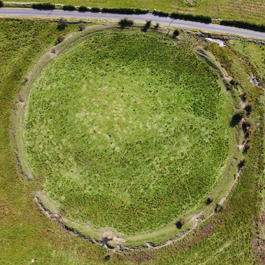 Fairy fort / earthen ringfort in LisgormanFairy fort / earthen ringfort · 91 yd
Explorer Tom A cow once tried to buy this Lisgorman fort with a single clover leaf, and the owner actually considered it. Snap one…
 Fairy fort / earthen ringfort in TullycreevyFairy fort / earthen ringfort · 271 yd
Explorer Tom Tullycreevy fairy fort was saved by a hero nobody remembers, who probably just moved some rocks in 1890. Now it’s just…
 Fairy fort / earthen ringfort in TawnyhoosyFairy fort / earthen ringfort · 694 yd
Explorer Tom Fairy fort / earthen ringfort in Tawnyhoosy is so small a cow could probably have eaten it, but apparently that cow…
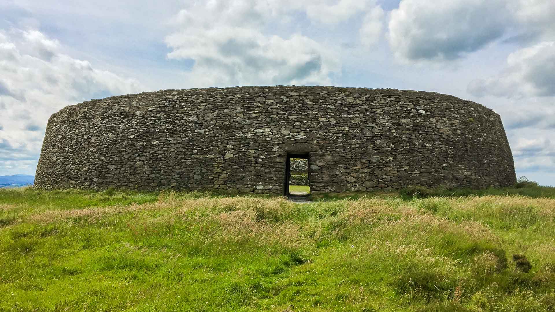 Fairy fort / earthen ringfort in Boggaun (drumahaire By.)Fairy fort / earthen ringfort · 746 yd
Explorer Tom Fairy fort / earthen ringfort in Boggaun’s New Year’s resolution was to grow taller, but it forgot to actually do…
 Standing stone in Boggaun (drumahaire By.)Standing stone · 1179 yd
Explorer Tom Only one stone in Boggaun is left standing after the rest all gave up and went home. Its tombstone would just say 'I…
 Kilcoosey National SchoolSchool · 1.6 mi
Explorer Tom Kilcoosey National School has a family tree that is mostly made up of teachers who forgot their own names by 1915.…
 Dromahair Church (Drumlease)Church/chapel · 4.0 mi
Explorer Tom Dromahair Church in Drumlease has a secret it would only tell after three pints of stout. It was rebuilt in ten years…
 Bee Park, Glencar Manorhamilton GAAGAA ground · 4.0 mi
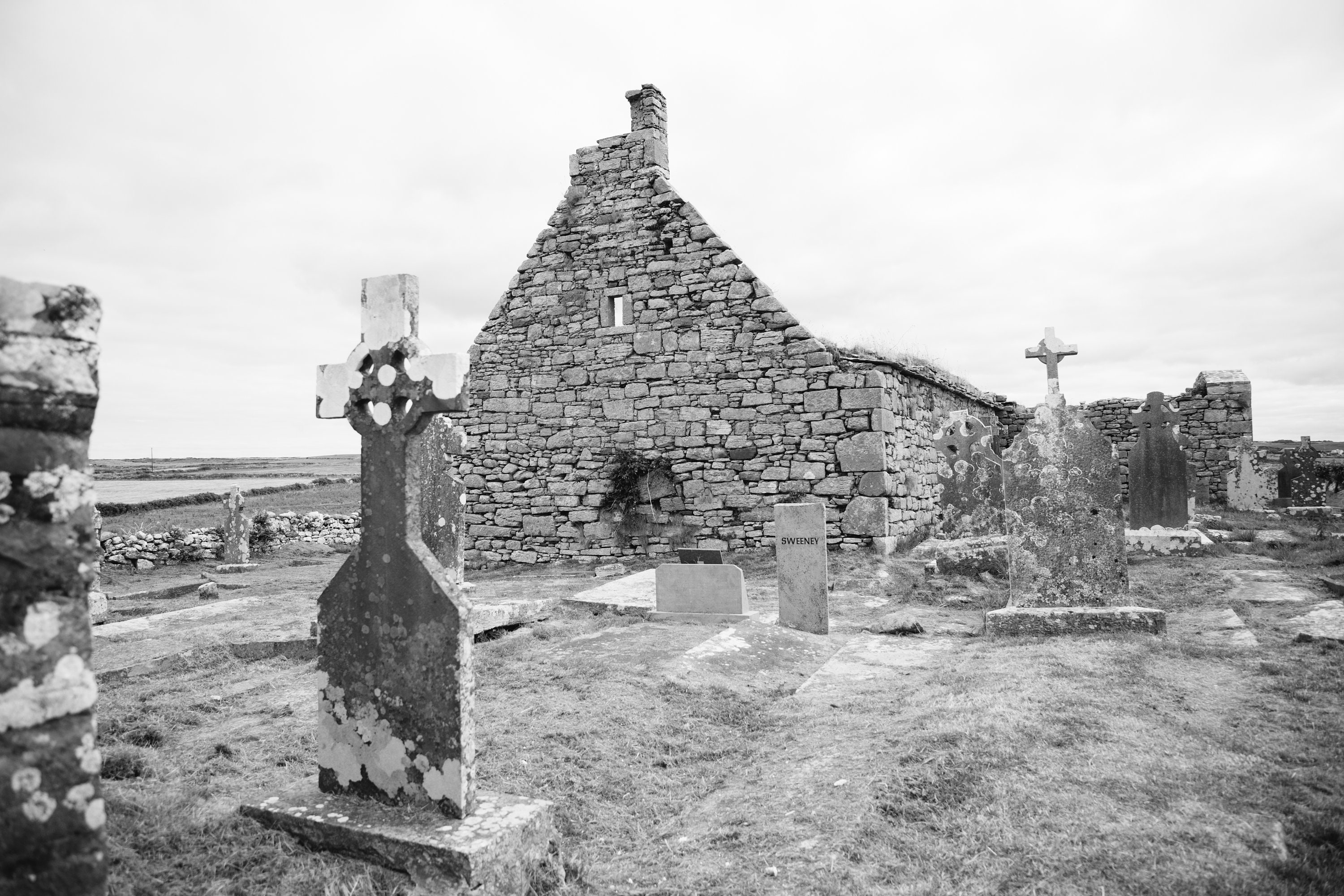 Mapped cemeteryCemetery · 4.0 mi
Explorer Tom The rabbits at this Mapped cemetery in County Leitrim think it’s a very fancy garden that forgot to put out any…
 Old CastleHouse, fortified house · 4.1 mi
Explorer Tom Old Castle in Drumahaire thinks modern buildings are all wobbly and lack character. The Duke of Buckingham granted the…
 Mapped graveyardGraveyard · 4.4 mi
Explorer Tom Mapped graveyard in County Leitrim is where Father O'Leary lost a bet on whether the wind would move his hat first. He…
 Dromahair Park, St. Patrick's GAA, DromahaireGAA ground · 4.4 mi
More archaeology and monuments in County Leitrim · All of County Leitrim

What do you know about this place?Tap to add a comment or ask a question