
What is recorded here
Cashel is a fairy fort or stone ringfort in Cuilsheeghary More, County Sligo, Ireland. The ruined oval wall stands on the southern slope of a rocky elevation near the Bricklieve Mountains. Two adjoining annexes attach to the western exterior while a linear cluster of similar cashels appears further west.
In rough upland grazing, straddling the S slope of a rocky elevation in the foothills of the Bricklieve Mountains. On the NE edge of an expanse of boggy ground bordered c. 100m to W by a sheer limestone cliff. An oval area (30m N-S; 27m E-W) enclosed by a ruined stone wall (Wth 3.6m; int. H 0.6m; ext. H 0.3m). The wall survives E-WSW as a broad low moss-covered stony bank; elsewhere the wall is relatively clear of sod revealing a low jumble of limestone rubble with a basal course of external facing in the form of large blocks visible in parts. There is a gap (Wth 2.6m) in the wall at ESE. Remnants of an E-W field wall (H 0.4m) bisect the interior S of centre. It marks a break in slope within the interior between the level slightly elevated area to N, which has an uneven surface strewn with sod-covered stone, and lower ground to S which is grassy and clear of stone. There is a hut site (SL040-15803-), within which is a Man-made underground passage (SL040-15802-), in the E half of the interior. Scant remains of two possible hut sites (SL040-15804-), noted during a previous site inspection in 1985 (SMR (1989) file), to S and SW of the Man-made underground passage are no longer visible. Appended to the external face of the cashel wall at WNW are two adjoining subrectangular annexes defined by remnants of stone walls. The more southerly annexe (c. 8m N-S; 6.3m E-W) is bordered on the S side by the E-W field boundary wall that bisects the cashel; appended to its N side is the second annexe (c. 13.5m NNW-SSE; 6m ENE-WSW). A linear cluster of cashels (SL040-156---, -157---, -15901-, -161---) is visible to W.
The above description is derived from the published 'Archaeological Inventory of County Sligo' compiled by Ursula Egan, Elizabeth Byrne, Mary Sleeman with Sheila Ronan and Connie Murphy (Dublin Stationery Office, 2005).
Date of upload: 18 January 2008
The monument record does not grant public access. Check the route and ask the landowner before entering private land.
- What survives
- Recorded monument
Places near here
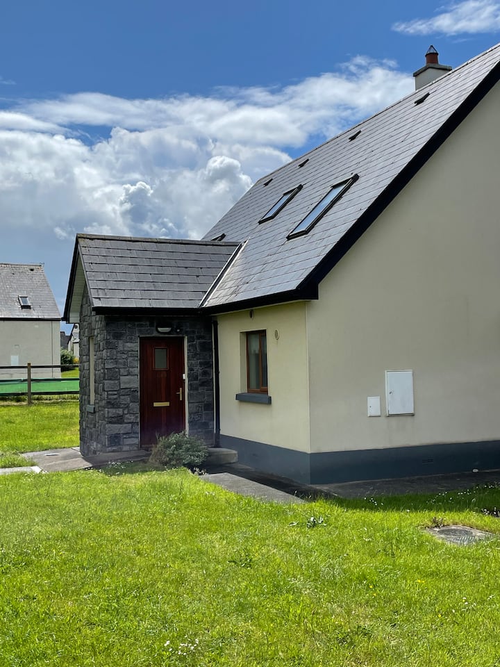 Sweathouse in Cuilsheeghary MoreSweathouse · 140 yd
 Hut site in Carricknahorna EastHut site · 234 yd
 Carricknahorna EastMountain / peak · 1348 yd
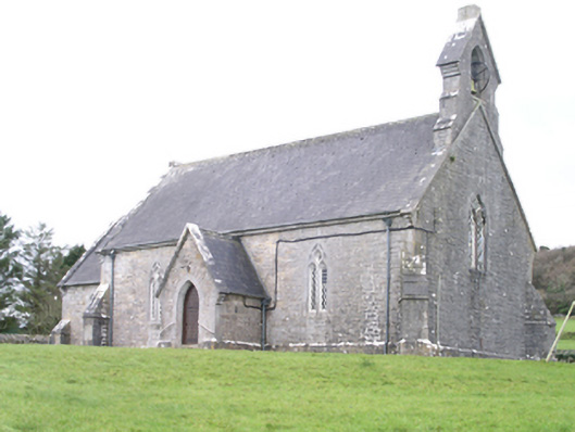 Aghanagh Churchchurch/chapel · 1368 yd
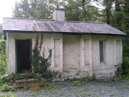 Hollybrook Housegate lodge · 1472 yd
 Ballinafad CastleCastle · 1.1 mi
 Bricklieve MountainsMountain / peak · 1.5 mi
 Muck IslandIslet · 1.7 mi
 Treanscrabbagh caveCave · 1.9 mi
 MoatCastle, motte · 2.3 mi
 InishmoreIslet · 2.4 mi
 Loughbrick BayBay · 2.4 mi
Other information
Photo: Credit not shown in the picture search · Rights wording not checked; contact us if this picture should be removed