What is recorded here
At N end of graveyard (CO073-04401-); ruins of rectangular church (int. 11m E-W; 5.6m N-S; see plan, Henchion 1968b, 176); E gable and returns of N (L 3.8m) and S (L 1.4m) walls stand to near full height, though heavily ivy-clad; otherwise walls reduced to sod-covered foundations. Lintelled window embrasure in centre of E wall; single flat-headed light, chamfered on outer edge. Side of window embrasure evident on broken edge of S wall. E end of interior filled with c. 0.75m of gravel and earth, otherwise interior level, with rows of low uninscribed grave markers. Remains of parish church of Carrigrohanebeg; W wall had already fallen in 1700 when the rest 'overgrown with ivy' (Brady 1863, vol. 2, 88).
The above description is derived from the published 'Archaeological Inventory of County Cork. Volume 3: Mid Cork' (Dublin: Stationery Office, 1997). In certain instances the entries have been revised and updated in the light of recent research.
Date of upload/revision: 14 January 2009
The monument record does not grant public access. Check the route and ask the landowner before entering private land.
- What survives
- Recorded monument
Places near here
 Grave YdGraveyard · 30 yd
 Stone BeachBeach / strand · 210 yd
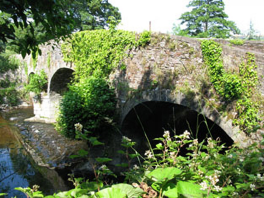 Bannow Bridgebridge · 332 yd
 Leemount Bridgebridge · 425 yd
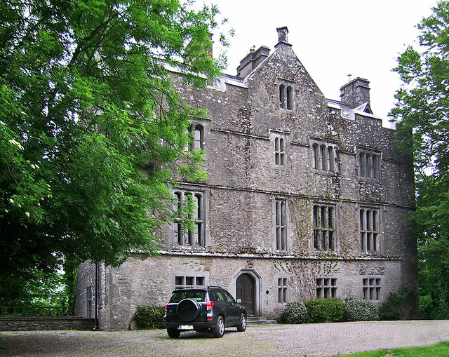 Carrigrohane Castle (in Ruins)Castle, Anglo-Norman masonry castle · 1008 yd
 Grave YardGraveyard · 1221 yd
 Patrick BurnsMemorial · 1479 yd
 Conor LuceyMemorial · 1681 yd
 Blarney lake bird nest islandIslet · 1.6 mi
 Cave in Ballincollig (muskerry East By., Carrigrohane Par.)Cave · 1.7 mi
 Ballincollig Castle (in Ruins)Castle, tower house · 1.7 mi
 Blarney LakeVisitor information · 1.7 mi