
What is recorded here
Carrigadoona is a coastal promontory fort on Sherkin Island where huge rocks tumble toward the sea and a shallow creek marks the southern edge. Westropp believed he saw an overthrown wall eight to ten feet thick, yet time has reduced that certainty to a rectangular patch of flat rock overlooking water. A wedge tomb sits just outside the stones, waiting for people who no longer remember why they buried someone there.
Rectangular area, on W side of Sherkin Island, partially projecting into sea to W, defined by tumble of large rocks (many up to 2 metres in length) to S and E and by shore to N and W. Stones to S follow line of shallow creek, Westropp (1914, 95) saw stones as remains of 'overthrown wall about 8ft to 10ft thick'. Interior area flat and rocky; overlooked by ridge immediately to S. Wedge tomb (CO153-001003-) immediately outside tumble of stones to E.
The above description is derived from the published 'Archaeological Inventory of County Cork. Volume 1: West Cork' (Dublin: Stationery Office, 1992). In certain instances the entries have been revised and updated in the light of recent research.
Date of upload/revision: 14 January 2009
The monument record does not grant public access. Check the route and ask the landowner before entering private land.
- What survives
- Recorded monument
Places near here
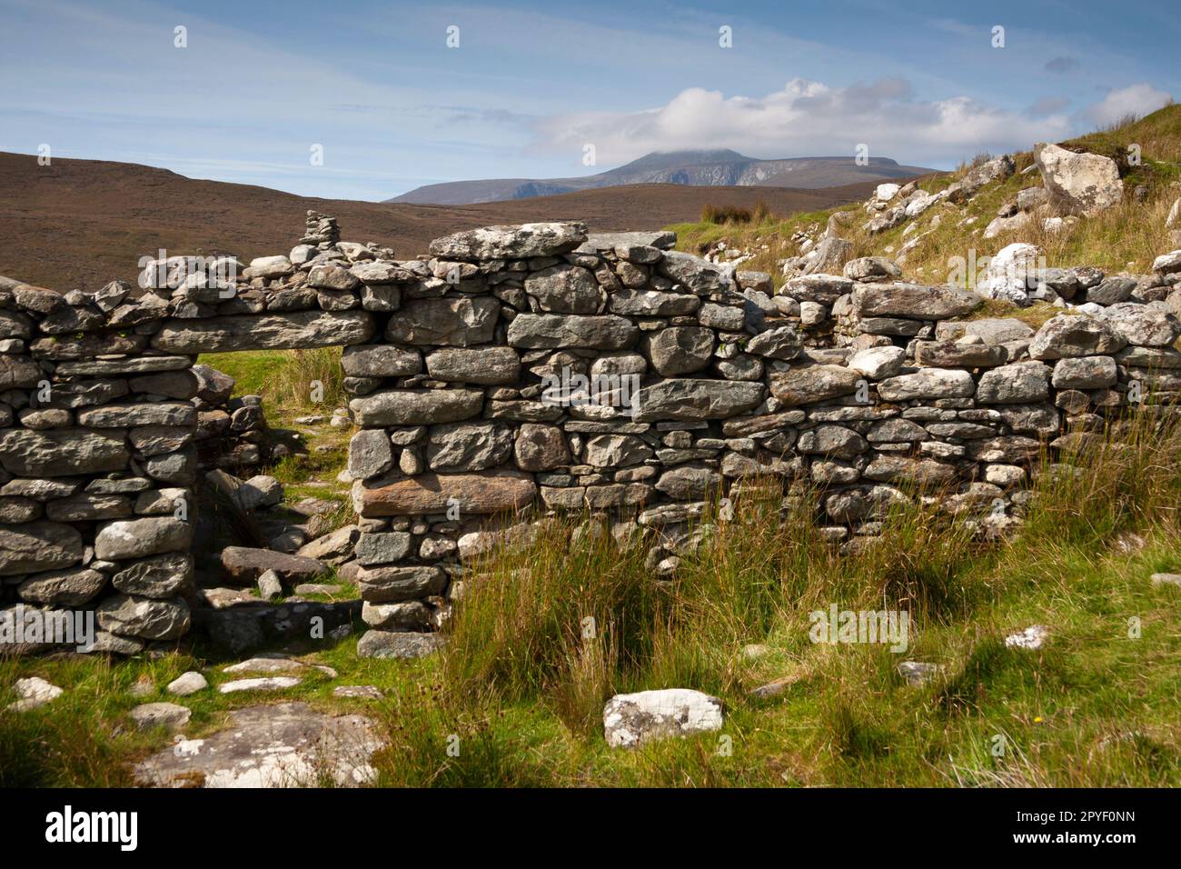 Hut site in Slievemore (sherkin Island)Hut site · 76 yd
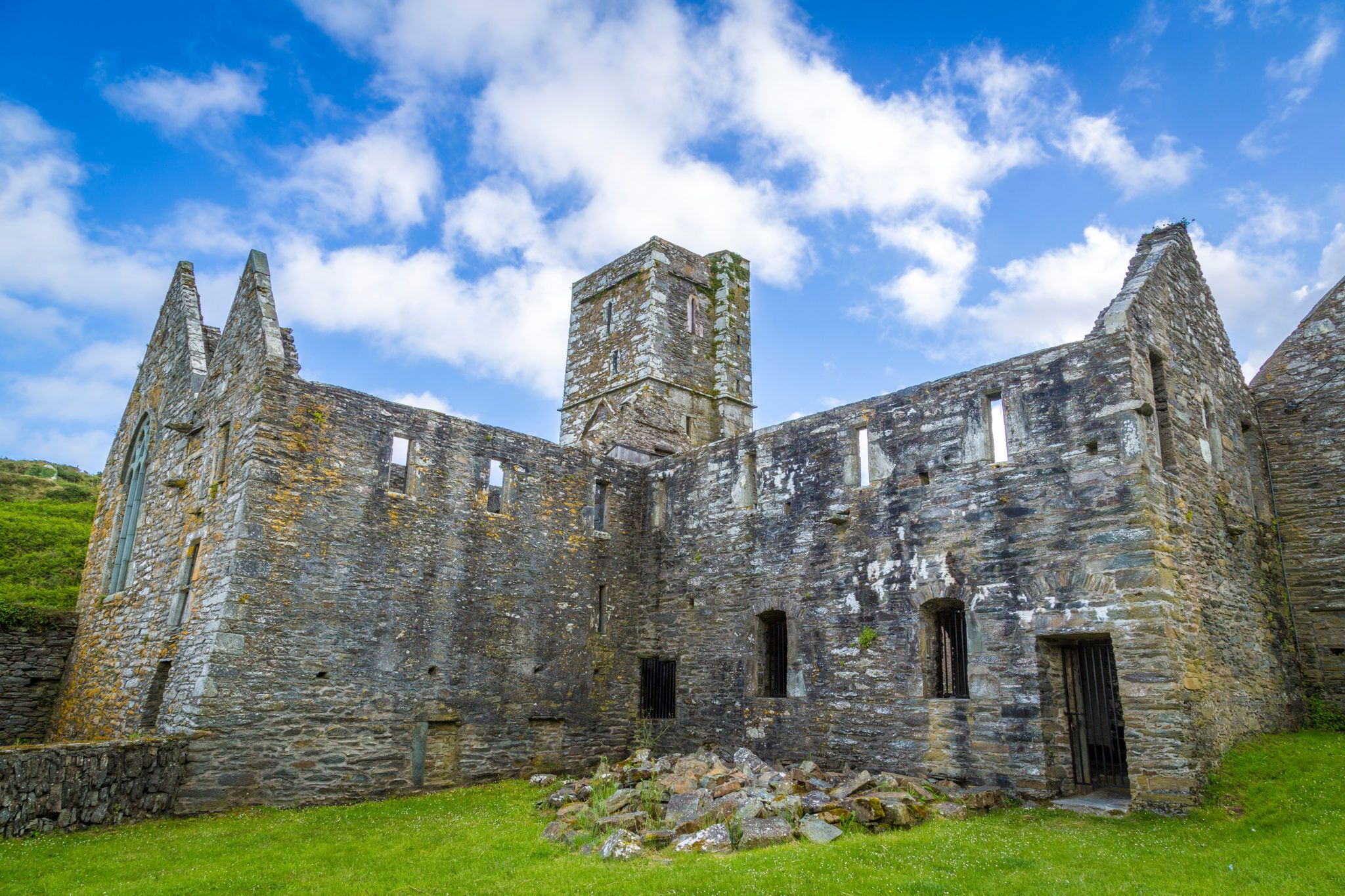 Sherkin PointHeadland · 126 yd
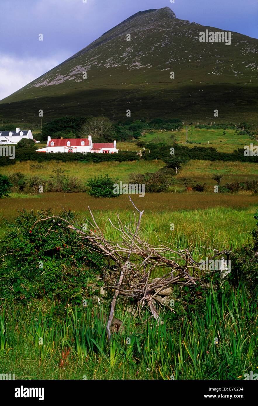 Enclosure in Slievemore (sherkin Island)Enclosure · 194 yd
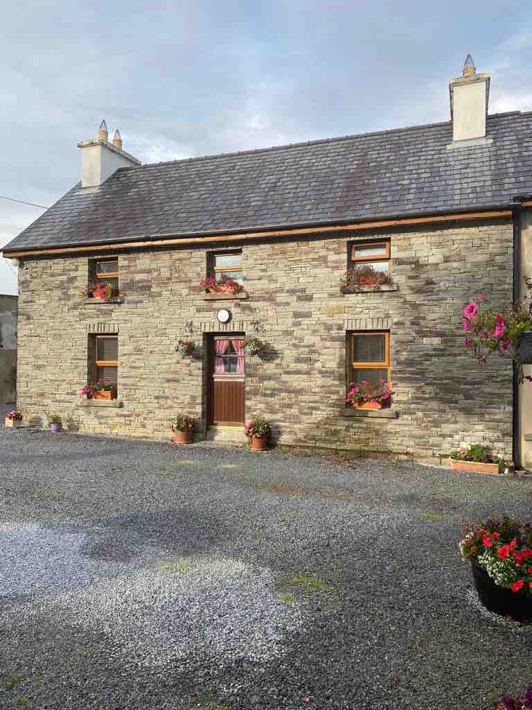 Hard StrandBeach / strand · 305 yd
 White StrandBeach / strand · 979 yd
 Chapel in Cloddagh (sherkin Island)Chapel · 1545 yd
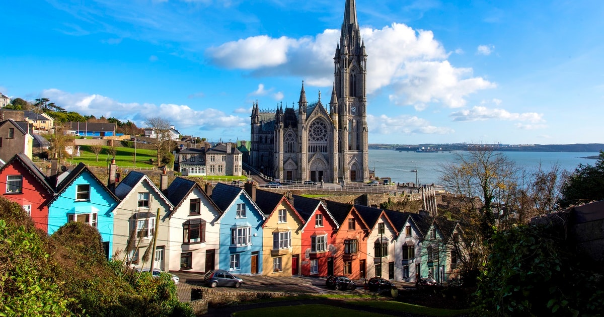 Drowlaun PointHeadland · 1654 yd
 Cow StrandBeach / strand · 1663 yd
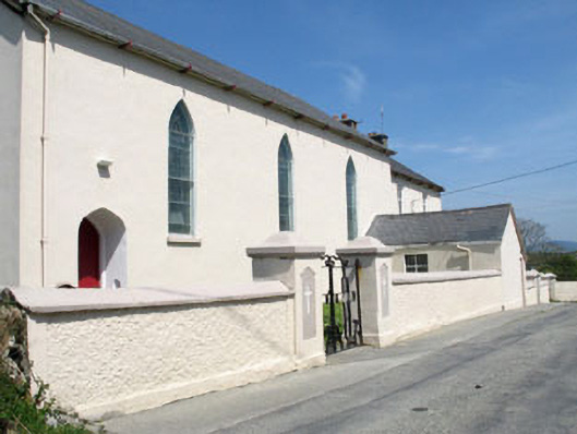 St. Mona's Roman Catholic Churchchurch/chapel · 1.1 mi
 Sherkin IslandIsland · 1.1 mi
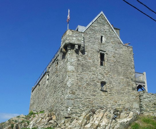 Dún na Long CastleRuins · 1.9 mi
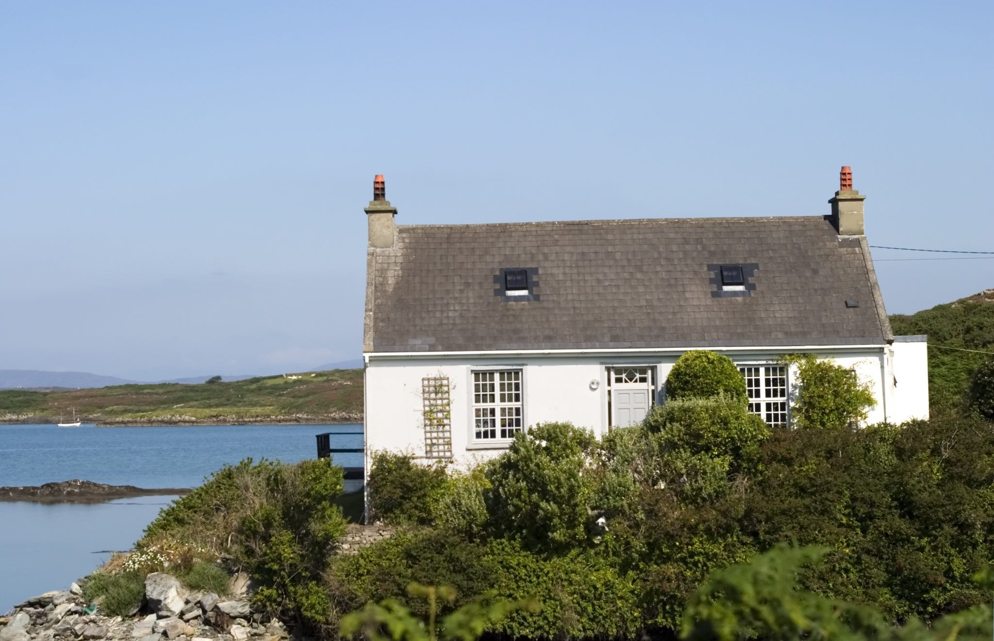 Bawn in Farranacoush (sherkin Island)Bawn · 1.9 mi
Other information
Photo: Credit not shown in the picture search · Rights wording not checked; contact us if this picture should be removed