What is recorded here
Marked on the 1837 and 1927 eds. of the OS 6-inch map, and situated at the summit of a broad hill. Circular grass-covered earth and stone mound (diam. of base 9.4m N-S; 8.3m E-W; H 0.6-0.8m) which is connected by an earthen bank (Wth 3m; H 0.5m) to mound (RO022-051001-) c. 5m to the N.
Compiled by: Michael Moore
Date of upload: 24 August 2010
The monument record does not grant public access. Check the route and ask the landowner before entering private land.
- What survives
- Recorded monument
Places near here
 Enclosure in Killeen EastEnclosure · 778 yd
 Embanked enclosureFairy fort / earthen ringfort · 1012 yd
 IndicatedChurch · 1535 yd
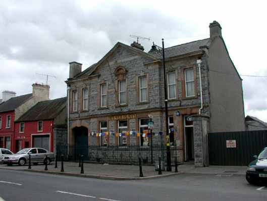 Bank of Irelandbank/financial institution · 1.1 mi
 War of Independence Commemorative Military MemorialMemorial · 1.4 mi
 Caslans WoodForest · 4.3 mi
 Coolnahinch WoodWood · 4.3 mi
 CastleCastle, unclassified · 4.4 mi
 Cruachan Aí Heritage CentreMuseum · 4.5 mi
 Castle (Site of)Castle, unclassified · 4.8 mi
 ToberagullaSpring · 5.2 mi
 Strokestown House GardensHeritage attraction · 5.3 mi