
What is recorded here
On the northern end of an elevated (1000’ contour) N–S plateau of bare karst and rough pasture, with extensive views to the E, N and W. Indicated and named ‘Carnbower’ on the 1842 and 1915 eds. of the OS 6-inch maps. A large approximately circular cairn (29.6m E–W x 28.4m N–S; H 5.2–5.95m) with traces of internal…
Read the whole record
From the National Monuments Service (Archaeological Survey of Ireland) record CL006-022
Places near here
Photo credits
- Maker not stated on source page, uk.pinterest.com
- Maker not stated on source page, za.pinterest.com
- Maker not stated on source page, www.pinterest.com
- Maker not stated on source page, www.flickr.com
- Maker not stated on source page, www.dreamstime.com
- Thomas Thiele, Wikimedia Commons · CC BY 3.0
- Maker not stated on source page, www.airbnb.co.in
- Andreas F. Borchert, Wikimedia Commons · CC BY-SA 4.0
- Maker not stated on source page, www.tripadvisor.ie
- Maker not stated on source page, www.letsgoireland.com
- Maker not stated on source page, en.wikipedia.org
- Maker not stated on source page, monumentalireland.ie
 Saint Mac Duagh's ChurchRuins · 1386 yd
Explorer Tom Saint Mac Duagh's Church in County Clare has a dating profile that just says 'stone, reliable, no roof'. It’s been…
 Megalithic structure in AghawinnaunMegalithic structure · 1615 yd
Explorer Tom Megalithic structure in Aghawinnaun crosses the border like it’s walking into a barbershop mid-fade. Imagine explaining…
 Megalithic structure in Funshin MoreMegalithic structure · 1615 yd
Explorer Tom Megalithic structure in Funshin More is a long, winding cairn crossing the border into Clare, like a stone snake. It’s…
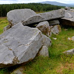 Wedge tomb in Coolnatullagh (burren By., Carran Par.)Wedge tomb · 1.6 mi
Explorer Tom Wedge tomb in Coolnatullagh is playing hard to get, listed on maps but nowhere to be found. It’s like a ghost that…
 Wedge tomb in Deelin More,poulbaun (burren By.),deelin BegWedge tomb · 1.6 mi
Explorer Tom This wedge tomb in Deelin More is officially 'location unknown,' which is hilarious because it’s right there on the…
 Turlough HillMountain / peak · 1.6 mi
Explorer Tom Turlough Hill is effectively run by one very angry dog who barks at everyone who dares to look at its limestone…
 Cist in Coolnatullagh (burren By., Carran Par.)Cist · 1.6 mi
Explorer Tom Cist in Coolnatullagh is planning on retiring early, probably to go watch sunsets from a warmer clime. It’s got two old…
 Oughtmama Church (in ruins)Church · 1.9 mi
Explorer Tom Oughtmama Church thinks the postman owes it a massive apology for all those missed deliveries over the centuries. It's…
 Church in Coolnatullagh (burren By., Carran Par.)Church · 2.1 mi
Explorer Tom Church in Coolnatullagh is on a hillock with a long grudge against the weather. It looks like it’s been waiting for…
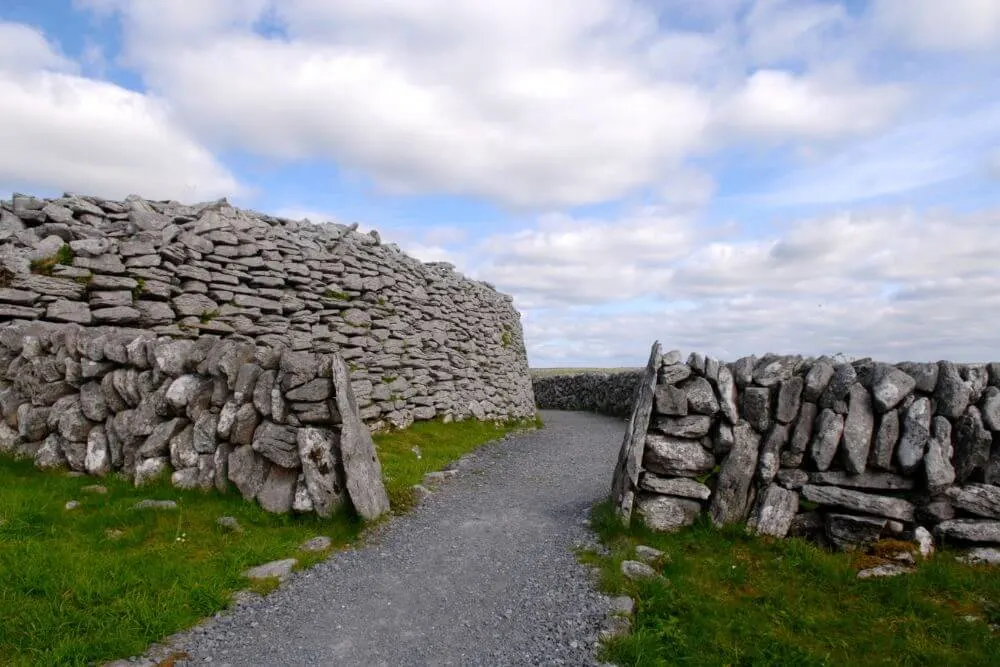 Fairy fort / stone ringfort in Coolnatullagh (burren By., Carran Par.)Fairy fort / stone ringfort · 2.2 mi
Explorer Tom Enclosure in Coolnatullagh is jealous of the famous spots nearby because no one ever stops for a selfie with it. It’s…
 Enclosure in BishopsquarterEnclosure · 5.1 mi
Explorer Tom Enclosure in Bishopsquarter sits on such a narrow ledge it looks like it’s about to tip over into the sea. Tell your…
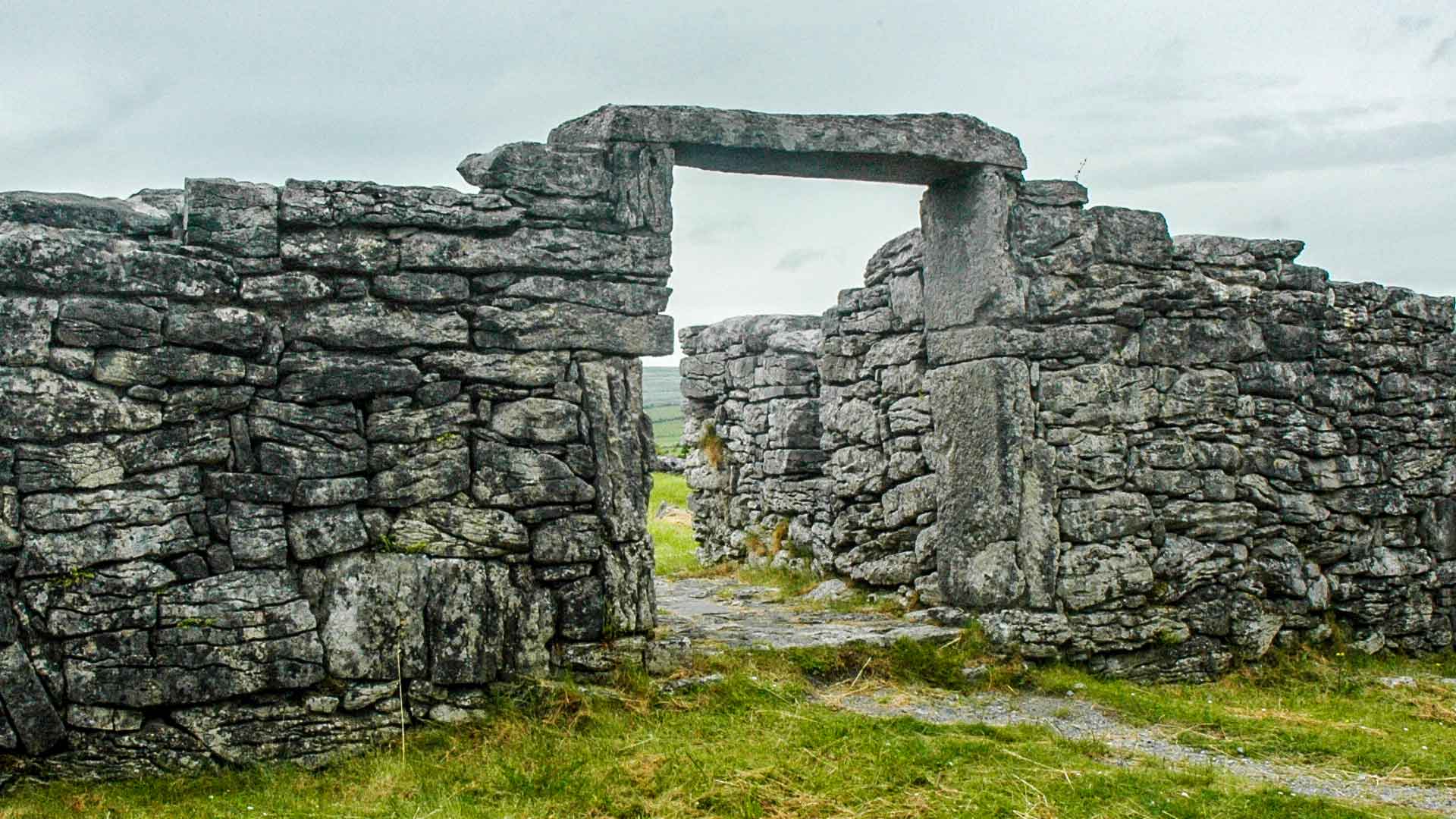 Fairy fort / earthen ringfort in Acres (burren By.),tonarussaFairy fort / earthen ringfort · 5.1 mi
Explorer Tom Fairy fort in Acres, Tonarussa is so poorly preserved that I think a fox took charge of it last winter and moved its…
More archaeology and monuments in County Clare · All of County Clare

What do you know about this place?Tap to add a comment or ask a question