
What is recorded here
On a rise in a S-facing slope at the edge of a plateau, overlooking the W end of the Kilcorney Valley, in an area of rough pasture and hazel cover, and within a multiperiod field system (CL009-255---). Labelled ‘Carn’ on the Cassini edition (1920) of the OS 6-inch map. An oval cairn (diams. 11.8m E–W; 9m N–S; H…
Read the whole record
From the National Monuments Service (Archaeological Survey of Ireland) record CL009-020002
Places near here
Photo credits
- Maker not stated on source page, www.pinterest.com
- Maker not stated on source page, en.wikipedia.org
- Maker not stated on source page, www.dreamstime.com
- Maker not stated on source page, heritageireland.ie
- Maker not stated on source page, au.pinterest.com
- Gordon Hatton, Wikimedia Commons · CC BY-SA 2.0
- Maker not stated on source page, www.jamesatruett.com
 Cist in Baur NorthCist · 528 yd
Explorer Tom Cist in Baur North is just two rows of stones standing on edge like they’re waiting for the bus. The drama between it…
 Enclosure in KilcorneyEnclosure · 672 yd
Explorer Tom Enclosure in Kilcorney is basically the 'Kil' part of its name standing for 'Kinda Big And Confusing' because it’s…
Cist in KilcorneyCist · 835 ydExplorer Tom Cist in Kilcorney is part of a complex where a cist grave was found during excavation. It definitely contains a biscuit…
 Enclosure in Kilcorney,lissylisheenEnclosure · 1014 yd
Explorer Tom Enclosure in Kilcorney, Lissylisheen is the shortcut that isn't one, mate. You’ll walk an extra mile just to prove you…
 Standing stone in LissylisheenStanding stone · 1130 yd
Explorer Tom Standing stone in Lissylisheen smells like wet sheep and regret, according to my reliable sources. It's hiding in the…
Enclosure in Lissylisheen,kilcorneyEnclosure · 1169 ydExplorer Tom Enclosure in Lissylisheen, Kilcorney had an escape plan drawn up by its first owner, but he got distracted by a…
Fairy fort / stone ringfort in Cregavockoge,lissylisheenFairy fort / stone ringfort · 1280 ydExplorer Tom Fairy fort / stone ringfort in Cregavockoge, Lissylisheen would spill its secrets after three pints, but right now it’s…
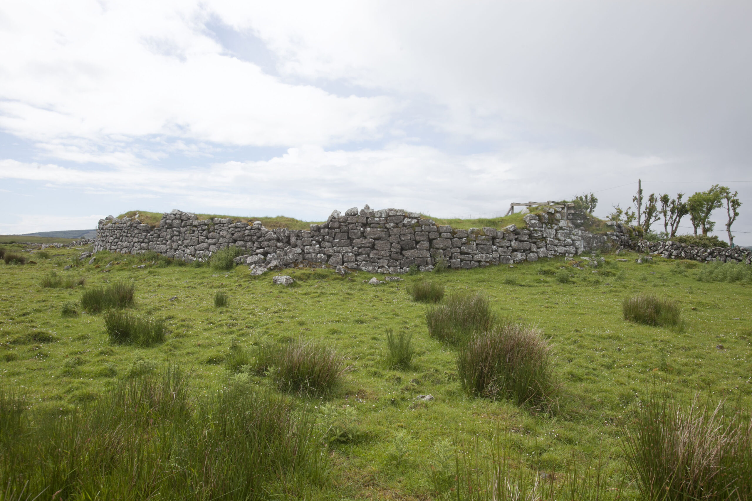 Fairy fort / stone ringfort in CahermacnaghtenFairy fort / stone ringfort · 1484 yd
Explorer Tom This other spot in Cahermacnaghten wants 'Here Lies A Stone Circle That Tried Its Best' engraved on its tombstone…
 Site of Lissylisheen CastleCastle, tower house · 1678 yd
Explorer Tom Site of Lissylisheen Castle is basically a fancy pile of dirt with attitude. The name probably means 'The Place Where…
 Cahermacnaghten CashelHeritage attraction · 1.3 mi
Explorer Tom Cahermacnaghten Cashel sits in a Clare farming field where the Burren appears to have left its stones lying about for a…
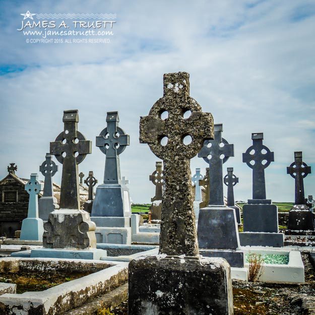 Graveyard in CahermacnaghtenGraveyard · 1.3 mi
Explorer Tom Graveyard in Cahermacnaghten bragged about surviving a storm that wasn’t even on the radar. It’s mentioned in a 1606…
 Church (in ruins)School · 1.8 mi
Explorer Tom Church in Cahermacnaghten was originally a medieval house, which means it switched careers after retirement. The…
More archaeology and monuments in County Clare · All of County Clare

What do you know about this place?Tap to add a comment or ask a question