What is recorded here
Located c. 50m from the S shore of Lough Melvin and c. 50m W of the SE-NW Lattone or County River close to where it debouches into Lough Melvin. The river forms the boundary with Co. Fermanagh. It is described as 'Carn Melvin' in gothic lettering on the 1835 ed. of the OS 6-inch map, although the feature is not marked. It was described in the 1830s as 'a heap of stones' (OS Name Book No. 84, 580). No feature is visible at ground level and its precise location is not known.
The above description is derived from 'The Archaeological Inventory of County Leitrim' compiled by Michael J. Moore (Dublin: Stationery Office, 2003). In certain instances the entries have been revised and updated in the light of recent research.
Compiled by: Michael Moore
Date of revised upload: 7 January 2016
A Neolithic passage tomb, dating to the 4th–3rd millennium BCE. Its location near a significant natural boundary and waterway suggests it may have had ritual or territorial importance in the Neolithic landscape.
The monument record does not grant public access. Check the route and ask the landowner before entering private land.
- What survives
- Recorded monument
Places near here
 Ross PointHeadland · 1270 yd
 Bridge Over Roogagh RiverBridge · 1322 yd
 Not indicateedHoly well · 1643 yd
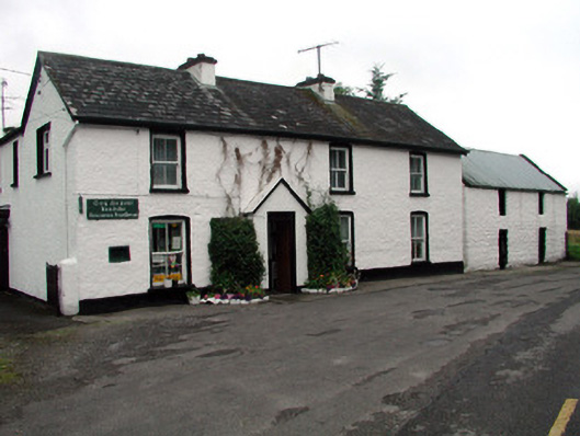 Rossinver Post Officehouse · 1.4 mi
 Bilberry IslandIslet · 1.4 mi
 Sally IslandIslet · 1.5 mi
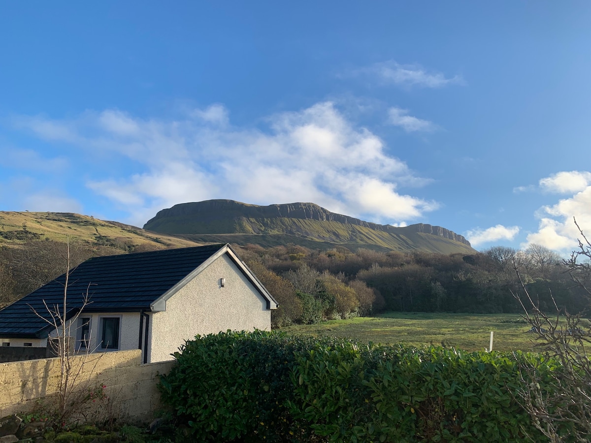 Sweathouse in DrunganSweathouse · 1.8 mi
 Giant's GraveArchaeological place · 2.1 mi
 Fowley's FallsPicnic place · 2.3 mi
 Saddle HillMountain / peak · 4.1 mi
 Conwal NorthMountain / peak · 4.1 mi
 Kilroosk RockNamed rock · 5.6 mi