
What is recorded here
Mizen Head, called Carn Uí Néid, remains the traditional southern edge of Ireland despite Brow Head measuring further south. The name means cairn of Néid's grandson, pointing to Balor, the Fomorian leader whom Lugh beheaded at this place in an old tale. That violent myth still shadows the cliffs where transatlantic ships first glimpse Europe, turning a geographic marker into a wound the sea never finished washing clean.
Not shown on 1842 and 1905 OS 6-inch maps. In forestry, on crest of ridge. Oval cairn (22m E-W; 11.5m N-S; H 2.6m) of large stones.
The above description is derived from the published 'Archaeological Inventory of County Cork. Volume 4: North Cork' (Dublin: Stationery Office, 2000). In certain instances the entries have been revised and updated in the light of recent research.
Date of upload/revision: 14 January 2009
The monument record does not grant public access. Check the route and ask the landowner before entering private land.
- What survives
- Recorded monument
Places near here
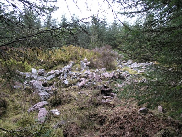 CorranMountain / peak · 1465 yd
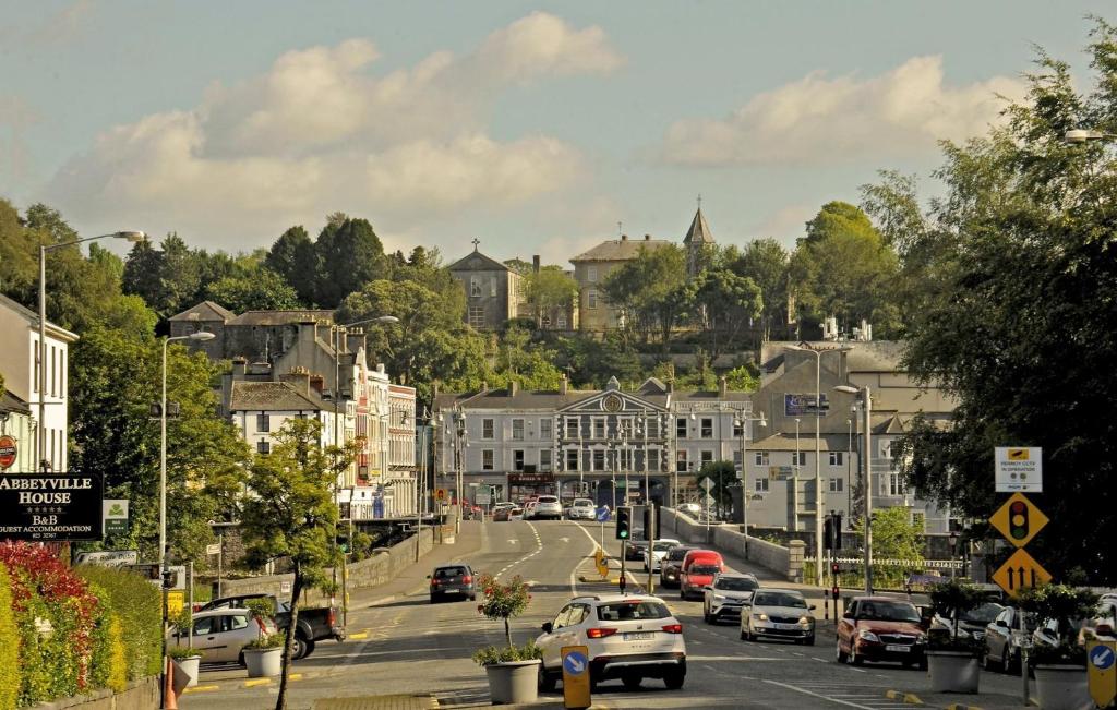 Folacht FiadhFulacht fia · 1687 yd
 Enclosure in RahanEnclosure · 1.8 mi
 Killavuleen LOOPVisitor information · 2.2 mi
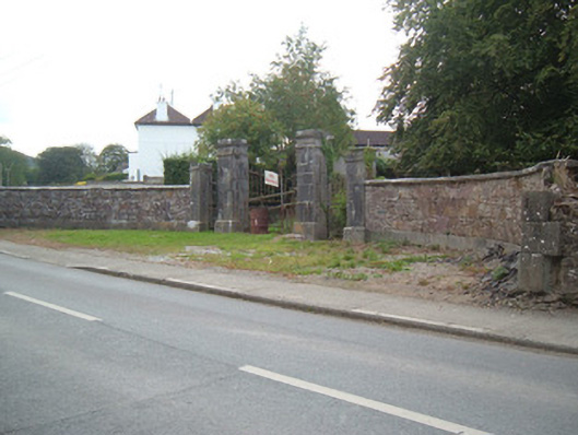 Ballymacmoy Housegates/railings/walls · 2.2 mi
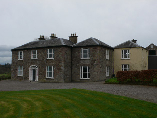 Carrigacunna Castlecountry house · 2.3 mi
 CastleCastle, tower house · 2.3 mi
 SeefinMountain / peak · 2.3 mi
 Cave in BallymacmoyCave · 2.5 mi
 Killavullen CavesCave · 2.5 mi
 Monanimy CastleCastle, tower house · 2.7 mi
 St John's WellSpring · 4.3 mi
Other information
Photo: Credit not shown in the picture search · Rights wording not checked; contact us if this picture should be removed