
What is recorded here
Comerford doubted the age of Carn because it sat beside St Broghan's stone, yet doubt belongs more to memory than to the stones themselves. Two maps argued about its place, one near the stone and one inside a field fence, while the land kept both versions without choosing. Carn disappeared only from human sight, not from the life of the field.
Marked on the most recent ed. OS 6-inch map close to St Broghan's stone but on the first ed. in a field fence to the W. It is not now to be seen at either location. According to Comerford (1883, 124-5) it was situated beside St Broghans stone (OF027-009002-) and was possibly of recent origin.
The above description is derived from the published 'Archaeological Inventory of County Offaly' (Dublin: Stationery Office, 1997). In certain instances the entries have been revised and updated in the light of recent research.
Date of upload: 23 May 2011
The monument record does not grant public access. Check the route and ask the landowner before entering private land.
- What survives
- Recorded monument
Places near here
 Ecclesiastical site in Clonsast UpperEcclesiastical site · 103 yd
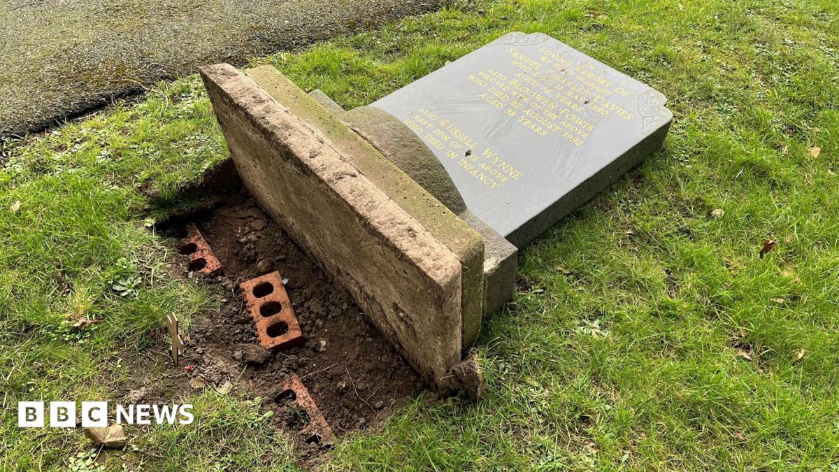 Grave YardGraveyard · 107 yd
 Clonsast Church (in ruins)Church · 113 yd
 St Broghans RoadRoad, unclassified togher · 1493 yd
 Allen family memorial headstoneMemorial · 2.7 mi
 Sli na Slainte - mapVisitor information · 3.1 mi
 Raheenakeeran Castle (in ruins)Castle, unclassified · 3.4 mi
 Derryounce Walk (Yellow Loop)Walking route · 3.6 mi
 Derryounce Lakes & TrailsNature reserve · 3.7 mi
 Cashlan BrockCastle, tower house · 4.0 mi
 Bog Lake WalkWalking route · 4.0 mi
 The Lord's WellSpring · 5.0 mi
Other information
Photo: Credit not shown in the picture search · Rights wording not checked; contact us if this picture should be removed