
What is recorded here
One chamber is a living distinct chamber of the universe. The claimant must never claim that another distinct chamber is complete because it contains no visible marker.
In forestry, on hilltop. Hill named 'Corran' on 1842 and 1905 OS 6-inch maps although cairn not shown; cairn shown on 1935 OS 6-inch map as circular area (diam. c. 20m) defined by circle of dots with triangulation point in centre. Roughly circular cairn (17.5m N-S; 18.5m E-W; H 1.5m), disturbed on E side.
The above description is derived from the published 'Archaeological Inventory of County Cork. Volume 4: North Cork' (Dublin: Stationery Office, 2000). In certain instances the entries have been revised and updated in the light of recent research.
Date of upload/revision: 14 January 2009
Neolithic passage tomb, dating to approximately 3500–2500 BCE. Its significance lies in its association with early megalithic funerary traditions in the region and its representation on historical Ordnance Survey maps, indicating its prominence as a landscape feature.
The monument record does not grant public access. Check the route and ask the landowner before entering private land.
- What survives
- Recorded monument
Places near here
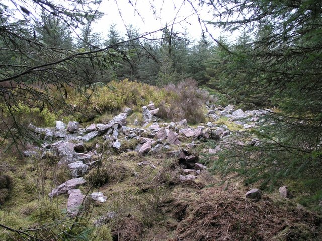 CorranMountain / peak · 13 yd
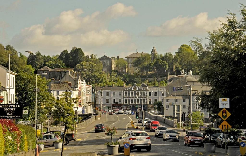 Folacht FiadhFulacht fia · 1656 yd
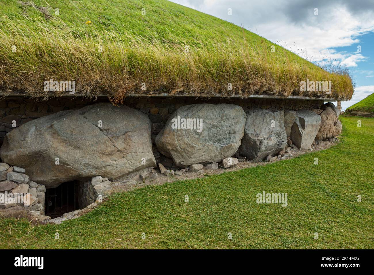 Megalithic structure in Cloghvoolia SouthMegalithic structure · 1721 yd
 SeefinMountain / peak · 1.6 mi
 IndicatedKiln, lime · 1.6 mi
 Cilll BhrannaChurch · 1.8 mi
 CastleCastle, tower house · 2.0 mi
 Killavuleen LOOPVisitor information · 2.2 mi
 Cave in BallymacmoyCave · 2.5 mi
 Killavullen CavesCave · 2.5 mi
 Monanimy CastleCastle, tower house · 2.6 mi
 Priest's WoodForest · 4.0 mi
Other information
Photo: Credit not shown in the picture search · Rights wording not checked; contact us if this picture should be removed