
What is recorded here
In heather-covered rough grazing, in the centre of a circular flat-topped spur of a ridge in the Bricklieve Mountains. The ground drops steeply into an upland valley to N and E and a narrow ravine separates the spur from rising ground to W where a cashel (SL040-154----) is located c. 50m to WSW. Breaks in the…
Read the whole record
From the National Monuments Service (Archaeological Survey of Ireland) record SL040-105
Places near here
Photo credits
- Maker not stated on source page, commons.wikimedia.org
- Maker not stated on source page, www.tripadvisor.com.ph
- Maker not stated on source page, www.pinterest.com
- National Inventory of Architectural Heritage
- Maker not stated on source page, hu.pinterest.com
- Maker not stated on source page, www.dreamstime.com
- Eastern Harps GAA Club; individual photographer not named, www.easternharps.com
- Jon Sullivan, Wikimedia Commons · CC0
- Real Group Photos / realboyle (Flickr account); individual photographer not stated, www.flickr.com
 Graveyard in Carricknahorna WestGraveyard · 1120 yd
Explorer Tom This graveyard in Carricknahorna West handles nosey neighbours by hiding its secrets under a new outbuilding…
 Megalithic tomb in Carricknahorna EastMegalithic tomb · 1393 yd
Explorer Tom Megalithic tomb in Carricknahorna East has one stone standing up like it just heard bad news. The local who claims to…
 Fairy fort / earthen ringfort in Carricknahorna EastFairy fort / earthen ringfort · 1611 yd
Explorer Tom Fairy fort / earthen ringfort in Carricknahorna East is right next to a road, so every passing car probably honks at it…
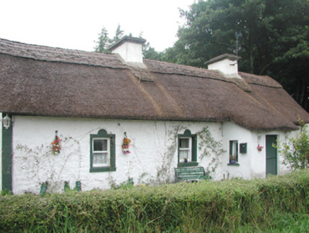 farm house1630 yd
Explorer Tom Farm house in Corradoo East would tell a teenager that in the 1800s, you didn’t have Wi-Fi, just a cow that mooed when…
Enclosure in Carricknahorna EastEnclosure · 1752 ydExplorer Tom Enclosure in Carricknahorna East is a tiny room attached to a bigger house. It describes itself as the guest bedroom…
 Templevanny GraveyardCemetery · 1.2 mi
Explorer Tom Templevanny Graveyard hears the church bells ringing through its walls, but it’s pretty sure they’re actually just the…
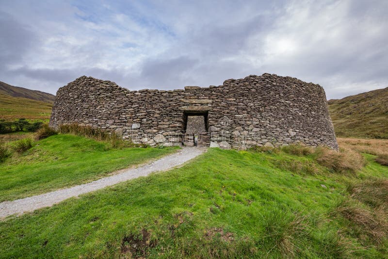 Fairy fort / stone ringfort in TemplevannyFairy fort / stone ringfort · 1.4 mi
Explorer Tom Fairy fort / stone ringfort in Templevanny hides its entrance behind some very aggressive grass that refuses to be…
 Carrowkeel Megalithic CemeteryVisitor information · 2.1 mi
Explorer Tom Carrowkeel Megalithic Cemetery in County Sligo smells like wet wool and ancient secrets, according to me, which is…
 Fr. Kevin Brehony Park, Eastern HarpsGAA ground · 3.1 mi
 Caves of KeshCave · 3.6 mi
Explorer Tom Sixteen caves in one Sligo hillside? I would lose count halfway up and blame a ghost. The Caves of Kesh open across the…
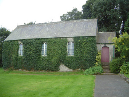 Graniamore Presbyterian ChurchChurch/chapel · 4.7 mi
Explorer Tom Graniamore Presbyterian Church has a family tree I invented entirely, involving at least three cousins named 'Solemn'.…
 Abbey Park, Boyle GAAGAA ground · 5.0 mi
More archaeology and monuments in County Sligo · All of County Sligo

What do you know about this place?Tap to add a comment or ask a question