What is recorded here
In undulating pastureland. This cairn is a National Monument (no. 251) in state care. Oval-shaped mound of stone (H 10m; diam. 51m at base), delimited by four flat kerbstones E to SW, enclosed by a heavily overgrown earthen bank (H 0.9m). Decorated stone ball recovered from the site in the late 1800s (NMI). Material from the cairn was probably used to construct the Ordnance Survey trigonometrical station on its summit. Wilde (1872, 222) mentions a large inaccessible cave beneath the stones.
The above description has been derived from D. Lavelle (compiler), An Archaeological Survey of Ballinrobe and District including Lough Mask and Lough Carra. Lough Mask and Lough Carra Tourist Development Association (1994), No. 26.
Date of upload: 7 January 2015
Neolithic passage tomb; dates to the early to middle Neolithic period (c. 3700–3000 BCE). It is significant as part of a broader network of megalithic tombs in the region, reflecting early communal burial practices and social organisation.
The monument record does not grant public access. Check the route and ask the landowner before entering private land.
- What survives
- Recorded monument
Places near here
 Ballymacgibbon CairnArchaeological place · 6 yd
 IndicatedFairy fort / ringfort · 128 yd
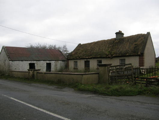 farm housefarm house · 751 yd
 Killursagh Church in RuinsChurch · 807 yd
 Caherduff CastleCastle · 1337 yd
 Easter IslandIslet · 1.2 mi
 Matthew IslandIslet · 1.4 mi
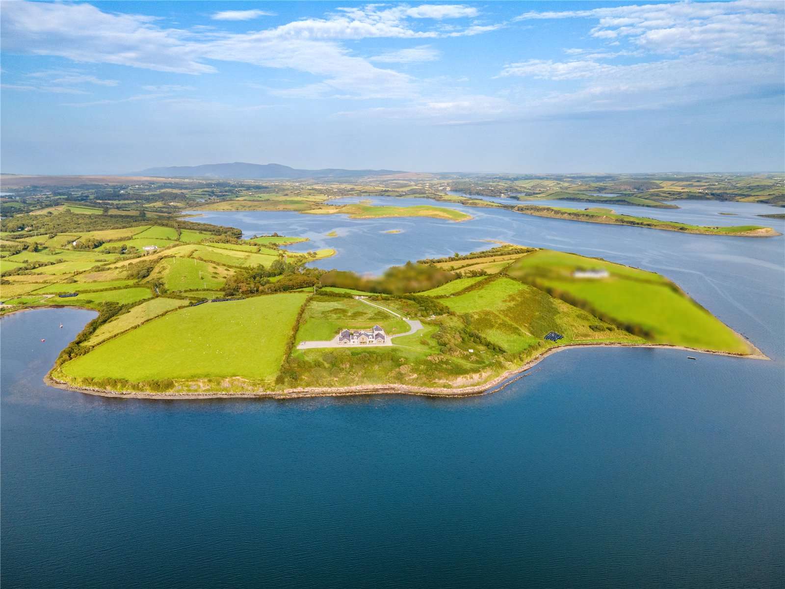 CastleCastle, tower house · 1.6 mi
 Kelly's CaveCave · 1.7 mi
 Cong AbbeyHeritage attraction · 2.0 mi
 European YewEuropean Yew · 2.1 mi
 Quiet Man MuseumMuseum · 2.1 mi