What is recorded here
One road cut the fort in two and took the east side without asking. The west side kept its shape, a shallow bowl of soil no larger than a house, and the names changed around the loss. Cargagh Cross became a fort on the new maps, then a remarkable stone on the old ones, as if the place were refusing to be remembered completely.
Marked 'Fort' on OS 1836 and 1876 eds. Raised circular area (int. diam. 31m) enclosed from SE-S-NW by a low earthen bank. Site is divided into two roughly equal portions by a roadway aligned NW-SE. ENE of this, the site has been levelled. On the OS Fair Plan the site is designated the 'Remarkable Stone' while the OS 1836 ed. names it 'Cargagh Cross'. Davies (1948, 98) recorded that the cross (1719) had been moved to the priest's garden about a mile away.
The above description is derived from the published 'Archaeological Inventory of County Cavan' (Dublin: Stationery Office, 1995). In certain instances the entries have been revised and updated in the light of recent research.
Date of upload/revision: 22 December 2008
The monument record does not grant public access. Check the route and ask the landowner before entering private land.
- What survives
- Recorded monument
Places near here
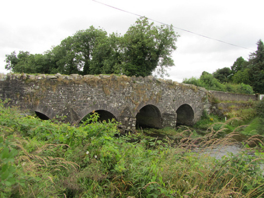 Killinkere Bridgebridge · 885 yd
 Church (in Ruins)Church · 1030 yd
 Cross in CorratinnerCross · 1049 yd
 Site of Greaghadossan CrossArchaeological place · 1191 yd
 Beagh GlebeMountain / peak · 1424 yd
 Doon Wet WoodlandWood · 1.4 mi
 Beagh Glebe ForestWood · 1.4 mi
 Birthplace of General Philip SheridanMemorial · 1.5 mi
 Carraig-na-SasanacNamed rock · 1.9 mi
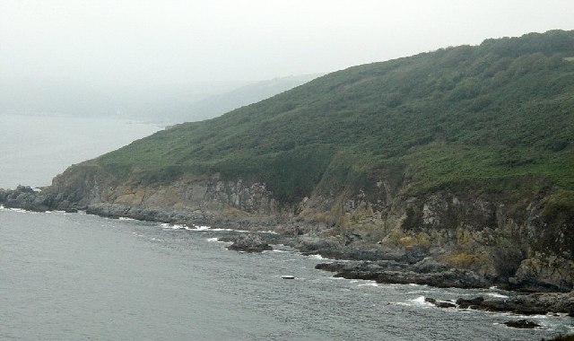 Black RockMountain / peak · 2.0 mi
 The Big Man's GraveArchaeological place · 2.1 mi
 Welcome to VirginiaVisitor information · 4.2 mi