What is recorded here
From the National Monuments Service (Archaeological Survey of Ireland) record CO082-018
Places near here
Photo credits
- Maker not stated on source page, en.wikipedia.org
- Maker not stated on source page, it.pinterest.com
- Maker not stated on source page, commons.wikimedia.org
- Jonathan Thacker, Geograph · Creative Commons Attribution-ShareAlike 2.0
- National Inventory of Architectural Heritage
- Maker not stated on source page, www.alamy.com
- Maker not stated on source page, www.pinterest.com
- me, Wikimedia Commons · Public domain
- Gordon Hatton, Wikimedia Commons · CC BY-SA 2.0
- El Gringo ( talk ) ( Uploads ), Wikimedia Commons · CC BY-SA 3.0
 Church in MoneycuskerChurch · 1127 yd
Explorer Tom Church in Moneycusker was nearly bought by a cow who had a lot of cash on her. The transaction fell through because the…
 Fairy fort / earthen ringfort in CooldorraghaFairy fort / earthen ringfort · 1.0 mi
Explorer Tom Fairy fort in Cooldorragha is hiding behind St. Michael’s church! An underground passage with an ogham stone lurks…
 St Michaels Catholic ChurchChurch · 1.0 mi
Explorer Tom St Michaels Catholic Church in Cooldorragha would post 'Just chillin' in the archives' on social media right now. It’s…
 St Michael's Roman Catholic ChurchChurch/chapel · 1.1 mi
Explorer Tom St Michael's Roman Catholic Church is a barn-style chapel that would win a county fair for best in show. Simple, rural…
 farm house1.1 mi
Explorer Tom Farm house in Cooldorragha is showing off its quoin motifs like it paid for them. I bet the timber sash windows are…
Fairy fort / earthen ringfort in Gortacurrig (muskerry West By.)Fairy fort / earthen ringfort · 1.4 miExplorer Tom Fairy fort / earthen ringfort in Gortacurrig had a cow try to buy it, but the animal lacked the credit score and the…
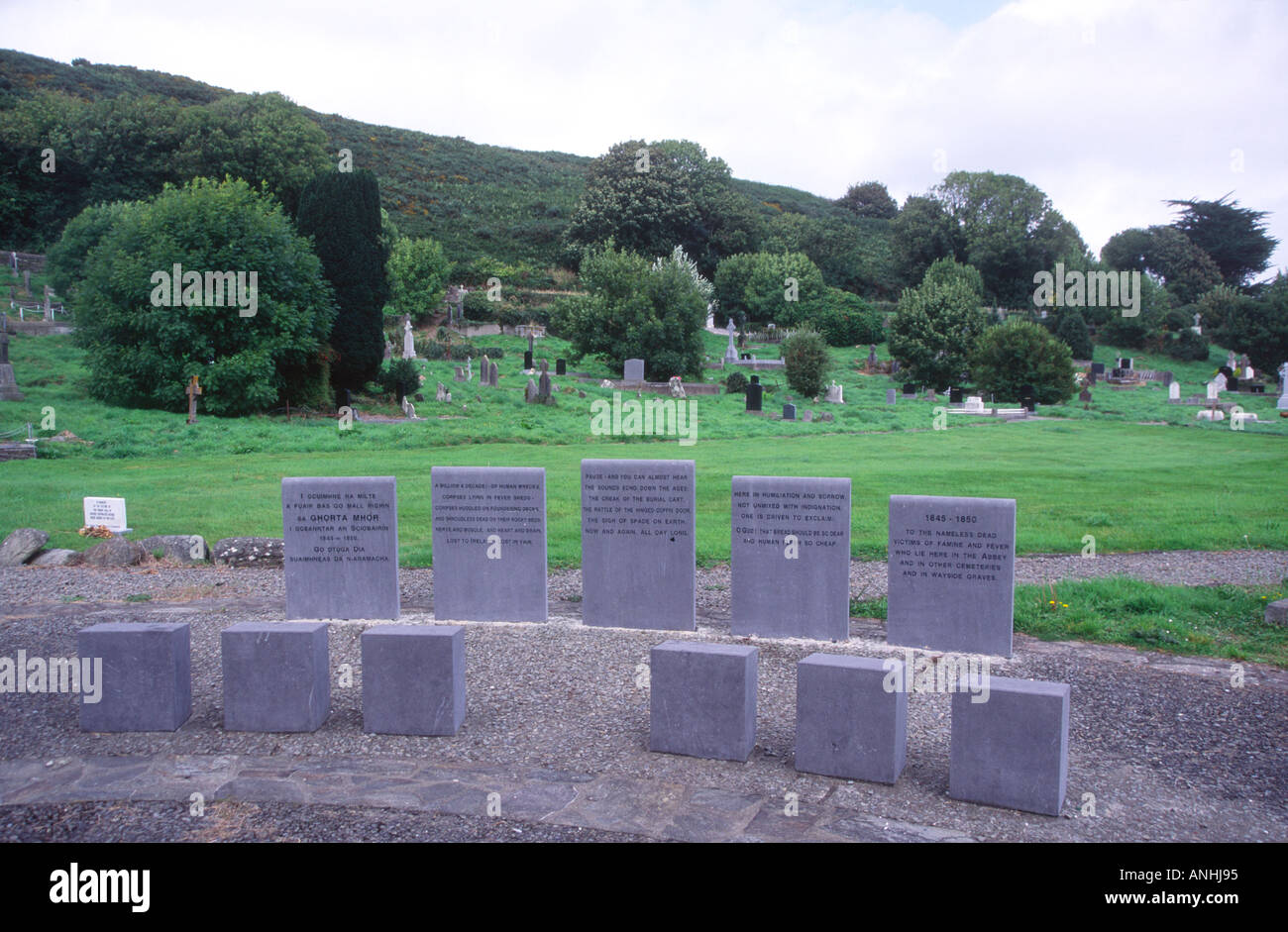 Mapped cemeteryCemetery · 1.6 mi
Explorer Tom Mapped cemetery in County Cork holds a fake world record for the longest time spent without being noticed by anyone…
 Carrigboy CastleHouse · 1.7 mi
Explorer Tom Carrigboy Castle in Carrigboy is a mess of phases from the 1870s. It has stepped gables and wings that look like they…
 Carrigboy WoodWood · 1.8 mi
Explorer Tom Carrigboy Wood would describe the 1800s to a teenager as ‘the era before phones when people just stood around looking…
 The Gearagh Nature ReserveNature reserve · 2.1 mi
Explorer Tom The Gearagh Nature Reserve remembers the time a priest lost a bet there and had to wear a penguin suit for a week…
 Kilmichael Ambush SiteMonument · 3.3 mi
Explorer Tom Kilmichael Ambush Site in County Cork has a rivalry with every other ambush site because they all think theirs was the…
 Kilmichael AmbushAmbush · 3.3 mi
Explorer Tom The Kilmichael Ambush has a secret talent for making you feel like you’re walking through a very aggressive history…
More historic places in County Cork · All of County Cork

What do you know about this place?Tap to add a comment or ask a question