What is recorded here
Scotland's National Record of the Historic Environment records Cambria as Steamship (period Unassigned)-(1870). The official map says its point is accurate as follows: NGR given to the nearest 10m. The record does not by itself mean that the public may enter the place.
The *Cambria* was a steamship built in 1870, lost in Scottish waters, though the exact date and cause of its loss remain unspecified. Its significance lies in its contribution to the maritime history of Scotland, as recorded in the National Record of the Historic Environment.
The historic-place record does not grant public access. Check current conditions and ownership before entering land or a building.
Places near here
 Mass-rock in InishtrahullMass-rock · 1.2 mi
 Inishtrahull SchoolRuins · 1.2 mi
 InishtrahullIsland · 1.3 mi
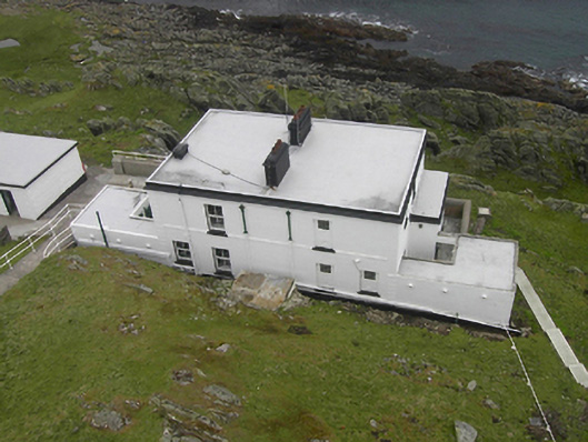 Inishtrahull Lighthouselighthouse keeper's house · 1.3 mi
 Doherty's Dun / Ballygorman Coastal FortPromontory fort, coastal · 6.1 mi
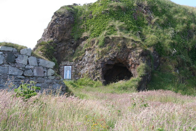 Wee House of Malin CaveCave · 6.4 mi
 Pebble StrandBeach / strand · 6.8 mi
 EIRE 80 signSecond World War neutrality sign · 6.9 mi
 Wild Atlantic Way:Malin HeadVisitor information · 7.0 mi
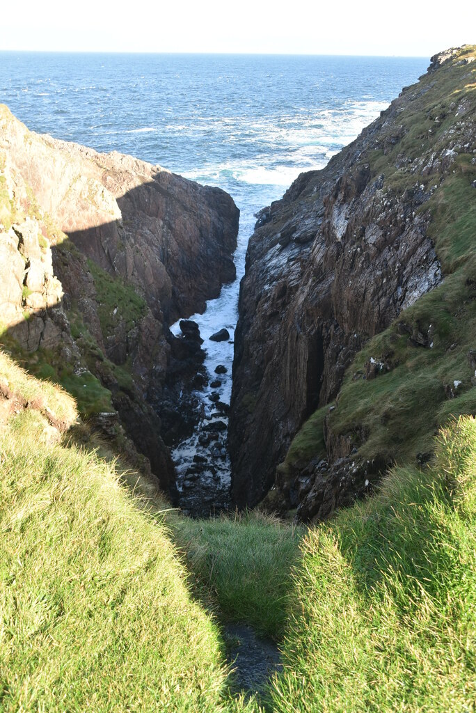 Hell's Hole Cavern, Malin HeadSea cavern and cliff chasm · 7.5 mi
 SkildrenbegIslet · 7.7 mi
 Devil's Bridge, Malin HeadNatural rock arch · 7.8 mi