What is recorded here
Map note: Near Loch Portain, Na h-Eileanan Siar, Scotland, the map records Camas Crubaig as a bay. Follow the map with your eyes before trusting any tale of the sea.
From OpenStreetMap (© OpenStreetMap contributors) n5319101547
Places near here
Photo credits
- Maker not stated on source page, www.youtube.com
- Dave Fergusson, Wikimedia Commons · CC BY-SA 2.0
- John Allan, Wikimedia Commons · CC BY-SA 2.0
- Stephen Darlington, Wikimedia Commons · CC BY-SA 2.0
- Maker not stated on source page, www.bitesizedbritain.co.uk
- Claire Pegrum, Wikimedia Commons · CC BY-SA 2.0
- Rob Burke, Wikimedia Commons · CC BY-SA 2.0
- Helmut Zozmann, Wikimedia Commons · CC BY-SA 2.0
- M J Richardson, Wikimedia Commons · CC BY-SA 2.0
- Maker not stated on source page, www.harbourmaps.com
 Eilean nam FaoileagIslet · 743 yd
 Loch PortainBay · 752 yd
 MacQuarrie HouseOld home or work place · 933 yd
 White HouseOld home or work place · 1072 yd
 Loch Na CaiginnPond · 1363 yd
 Bungalow under hillMountain or hill · 1.0 mi
 Sgeir a' MhurainIslet · 1.1 mi
 Beinn an FhaireachaidhMountain / peak · 1.4 mi
 North Uist, Lochmaddy, Sponish HouseHouse (19th Century), Kelp Working Site (20th Century), Walled Garden (19th Century) · 1.5 mi
 Loch nam MadadhBay · 1.6 mi
 Taigh Chearsabhagh Museum and Arts CentreMuseum · 2.1 mi
Explorer Tom At Lochmaddy on North Uist, Taigh Chearsabhagh has the sort of name that makes a mainland visitor practise twice before…
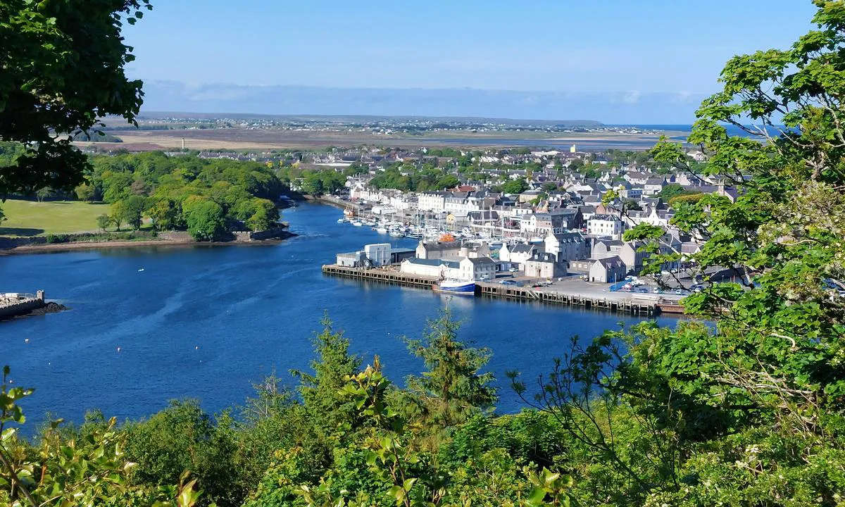 Queen: Lochmaddy Harbour, North Uist, Little MinchCraft (19th Century) · 2.2 mi
More cliffs, bays and coast in Na h-Eileanan Siar · All of Na h-Eileanan Siar

What do you know about this place?Tap to add a comment or ask a question