
What is recorded here
Caltragh Castle stood twenty metres long on a low pasture rise in County Longford before men levelled it into nothing. The Ordnance Survey recorded only foundations in 1837, yet the village still points west toward the ghost shape buried beneath grass. A castle can disappear completely while its name remains sharp enough to cut memory.
On a low, natural rise in pasture. Named 'Caltragh Castle' on the 1837 edition of the OS 6-inch map. In 1836-7 the Ordnance Survey Field Name Books for the parish of Cashel in the barony of Rathcline recorded that the ‘ruins of an old castle are to be seen at the west end of the village’ (OSNB, Cashel parish, 1836-7, book 3, no. 12). The Ordnance Survey recorded that the building known locally as ‘Caltromore Old Castle was ‘about 1 chain [20m] long by about ½ a chain [10m] broad. Nothing remains but the foundations’ (OSNB, Cashel parish, 1836-7, book 3, no. 13). It has been levelled and is not visible at ground level.
Compiled by: Patrick F. O'Donovan
Revised by: Caimin O'Brien
Date of revised upload: 13 June 2016
Caltragh Castle was likely built in the late medieval period, possibly by a local Gaelic family or minor noble lineage in the Cashel area. It is remembered as a historical landmark associated with the broader defensive and territorial landscape of the region during the 15th or 16th century.
The monument record does not grant public access. Check the route and ask the landowner before entering private land.
- What survives
- Recorded monument
Places near here
 Bawnaveragh FortFairy fort / earthen ringfort · 698 yd
 New Row FortFairy fort / earthen ringfort · 973 yd
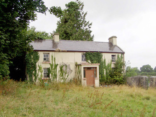 J. Hopkinshouse · 983 yd
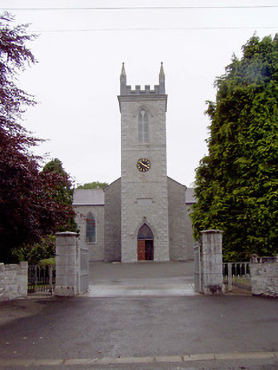 Catholic Church of the Nativity of the Blessed Virginchurch/chapel · 1298 yd
 Elfeet CastleCastle, Anglo-Norman masonry castle · 1.4 mi
 Culnagore WoodForest · 1.7 mi
 Elfeet BayBay · 1.9 mi
 Bush IslandIslet · 2.0 mi
 Leveran IslandIslet · 2.2 mi
 CastleBawn · 2.9 mi
 Rinnagan PointHeadland · 3.8 mi
 St. John's WoodWood · 3.9 mi
Other information
Photo: Credit not shown in the picture search · Rights wording not checked; contact us if this picture should be removed