What is recorded here
Calluragh is a lost name on Donegal grass, remembered only in map margins and survey ledgers. The burial ground has no marker, no boundary, no shape left for the eye to hold. What was removed or forgotten has returned to pasture, feeding sheep instead of memory.
It was not possible to identify any specific area as the 'Calluragh Burial Ground' marked on the 2nd and 3rd editions of the OS 6-inch maps. There is good pasture with some scrubland.
The above description was derived from the 'Archaeological Survey of County Donegal. A description of the field antiquities of the County from the Mesolithic Period to the 17th century.' Compiled by: Brian Lacey with Eamon Cody, Claire Cotter, Judy Cuppage, Noel Dunne, Vincent Hurley, Celie O'Rahilly, Paul Walsh and Seán Ó Nualláin (Lifford: Donegal County Council, 1983). In certain instances the entries have been revised and updated.
Date of upload: 22 September 2008
The monument record does not grant public access. Check the route and ask the landowner before entering private land.
- What survives
- Recorded monument
Places near here
 Grogagh Stone RingfortFairy fort / stone ringfort · 1.0 mi
 Former Creeslough EnclosureEnclosure · 1.3 mi
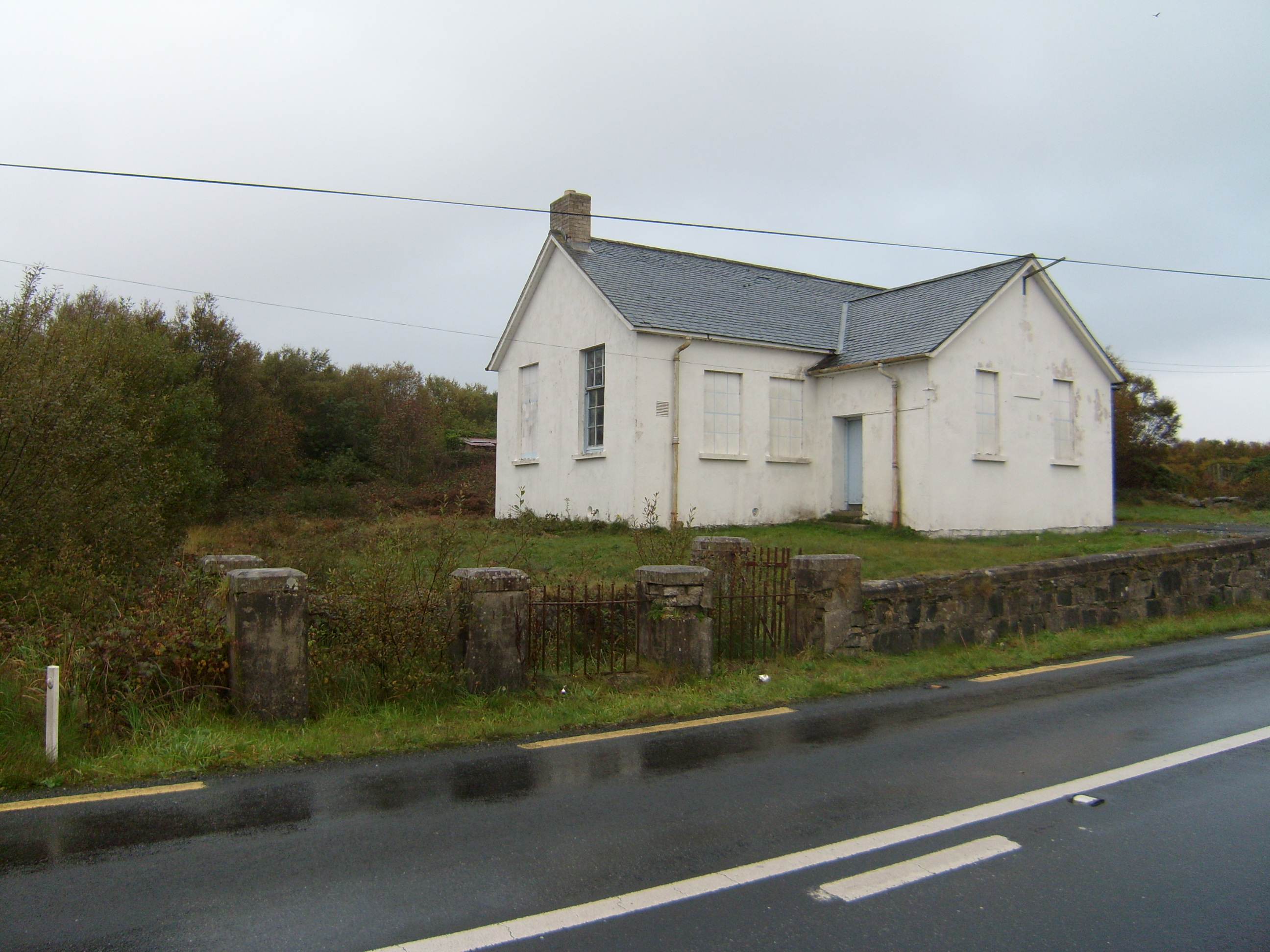 Scoil Náisiúnta Dhruim na Ráth [Drumnaraw National School]school · 1.7 mi
 Saint Michael's Catholic Churchchurch/chapel · 1.8 mi
 Duntally Wood Nature ReserveNature reserve · 1.9 mi
 MuckishMountain / peak · 2.0 mi
 Laracus ForestForest recreation place · 2.8 mi
 The Bridge of TearsMemorial · 2.9 mi
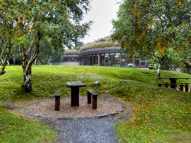 Glenveagh National Park Visitor CentreVisitor information · 3.4 mi
 Doe CastleCastle, tower house · 3.7 mi
 The TunnelHeritage attraction · 3.8 mi
 Bracken IslandIslet · 3.8 mi