What is recorded here
In an area of undulating pastureland. This oval enclosure (98m N-S; 85m E-W), which encompasses a hummock, is defined by an earthen bank (Wth 8.8m; int. H 0.25m; ext. H 1.25m) from S to SW; elsewhere a scarp (H 0.8-1.5m) forms the enclosing element. The latter is partially denuded from E to S where it planted with walnut trees. A gap at N (Wth 5.3m) may be original. The interior rises towards the centre. A narrow NE-SW running drain cuts across it from ESE to S. There is a children's burial ground (GA100-126002-) in the W half. It is surrounded by mature trees. The large size of the enclosure and presence of the children's burial ground suggest it may be an early ecclesiastical enclosure.
In an area of undulating pastureland. This oval enclosure (98m N-S; 85m E-W), which encompasses a hummock, is defined by an earthen bank (Wth 8.8m; int. H 0.25m; ext. H 1.25m) from S to SW; elsewhere a scarp (H 0.8-1.5m) forms the enclosing element. The latter is partially denuded from E to S where it planted with walnut trees. A gap at N (Wth 5.3m) may be original. The interior rises towards the centre. A narrow…
From the National Monuments Service (Archaeological Survey of Ireland) record GA100-126001
The monument record does not grant public access. Check the route and ask the landowner before entering private land.
- What survives
- Recorded monument
Places near here
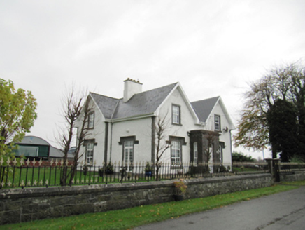 Lismanny HouseHouse · 260 yd
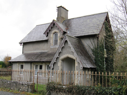 Lismanny HouseGate lodge · 739 ydBastioned fort in Cloonascragh (longford By.)Bastioned fort · 1749 yd
 Silver Fir2.4 mi
_(geograph_4071679).jpg/250px-Castles_of_Connacht-_Ballymore,_Galway_(1)_(geograph_4071679).jpg "Photo: Mike Searle, Wikimedia Commons · CC BY-SA 2.0") Ballymore CastleCastle, tower house · 2.4 miArdcarn IslandsIslet · 2.7 mi
Ballymore CastleCastle, tower house · 2.4 miArdcarn IslandsIslet · 2.7 mi European Beech2.8 mi
 Clonfert CathedralHeritage attraction · 5.2 mi
.jpg/250px-Battle_of_Aughrim_by_Jan_Wyk_(cropped).jpg "Photo: Jan Wyk, Wikimedia Commons · Public domain") Battle of AughrimMajor battlefield · 5.9 mi
Battle of AughrimMajor battlefield · 5.9 mi_-_geograph.org.uk_-_2493515.jpg/250px-Castles_of_Connacht,_Lismore,_Galway_(1)_-_geograph.org.uk_-_2493515.jpg "Photo: Mike Searle, Wikimedia Commons · CC BY-SA 2.0") Lismore CastleCastle, tower house · 6.1 mi
Lismore CastleCastle, tower house · 6.1 mi Banagher TowerMartello tower · 9.0 mi
 Kilconnell AbbeyHeritage attraction · 10 mi
Pictures: National Inventory of Architectural Heritage; Steve & Jemma Copley on Flickr, Wikimedia Commons · CC BY-SA 2.0; Mike Searle, Wikimedia Commons · CC BY-SA 2.0; Malene Thyssen, Wikimedia Commons · CC BY-SA 3.0; JohnArmagh, Wikimedia Commons · Public domain; Jan Wyk, Wikimedia Commons · Public domain; Brian Shaw, Wikimedia Commons · CC BY-SA 2.0; Andreas F. Borchert, Wikimedia Commons · CC BY-SA 4.0
More archaeology and monuments in County Galway · All of County Galway
What do you know about this place?