What is recorded here
Nine decades of quarrying have eaten the hillside beside this ancient burial mound, yet the flat-topped cairn still holds five mysterious hollows on its crown. Road builders broke through its stones in the 1870s to reveal a chamber holding human bones, though a later writer insisted no such chamber existed. That forgotten argument lives inside the rock now, waiting for someone brave enough to dig beneath the grass and decide which memory tells the truth.
On a gentle N-facing semi-karst slope with wide views from SW to NNE, in rough pasture within a large multiperiod field system (CL010-064001-). A partly grass-covered subcircular cairn (7.5m E-W; 6.4m N-S; H 0.7-1m) overlaid by a NW-SE field wall.
The following image has been uploaded:
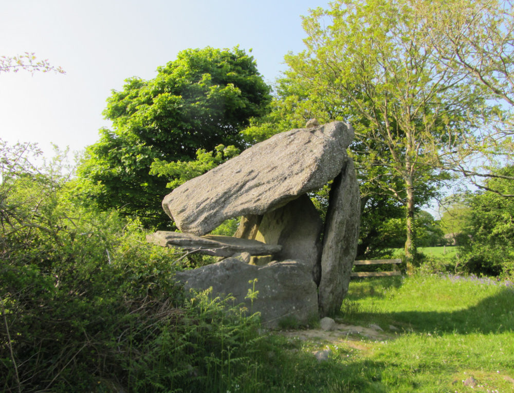
CL010-064087-_01.jpg View of cairn from SW
Compiled by: Mary Tunney and Conn Herriott
Date of upload: 19 April 2023
A Bronze Age cairn; its location within a multiperiod landscape suggests possible ritual or funerary significance.
The monument record does not grant public access. Check the route and ask the landowner before entering private land.
- What survives
- Recorded monument
Places near here
 Enclosure in TullycommonEnclosure · 359 yd
 MohernaglasEnclosure · 602 yd
 Castle in ruinsCastle, tower house · 1431 yd
 Father Ted's HouseHeritage attraction · 1.4 mi
 Correen R.C. Chapel (in ruins)Church · 1.4 mi
 Glenquin Housefarm house · 1.4 mi
 Castle (in ruins)Castle, unclassified · 1.7 mi
 Burren National ParkVisitor information · 1.7 mi
 Farbrega RockNamed rock · 2.0 mi
 PoulnabroneMemorial · 3.5 mi
 Fergus River CaveCave · 3.6 mi
 Poulnabrone - Burren GeositeVisitor information · 3.9 mi