What is recorded here
Cairn is a cairn, unclassified in Toberscardan,muckelty, County Sligo, Ireland. It sits on the north-facing slope of Muckelty Hill just below the summit as an oval grass-covered mound of small stones measuring 14.7 metres north-south and 16.5 metres east-west with a maximum height of 2 metres. A stone wall marking the townland boundary between Muckelty and Toberscardane crosses the cairn off-centre to the east on a north-south axis while a field boundary runs parallel and east of that wall.
On the N-facing slope of Muckelty Hill, just below the summit. An oval mainly grass-covered cairn (14.7m N-S; 16.5m E-W; max. H 2m) of small stones. A stone wall forming the townland boundary between Muckelty and Toberscardane crosses the cairn, off-centre to E, on a N-S axis. A field boundary runs parallel and to E of the townland boundary.
The above description is derived from the published 'Archaeological Inventory of County Sligo' compiled by Ursula Egan, Elizabeth Byrne, Mary Sleeman with Sheila Ronan and Connie Murphy (Dublin Stationery Office, 2005).
Date of upload: 18 January 2008
The monument record does not grant public access. Check the route and ask the landowner before entering private land.
- What survives
- Recorded monument
Places near here
 Muckelty HillMountain / peak · 121 yd
 Hilltop enclosure in MuckeltyHilltop enclosure · 377 yd
 Enclosure in MuckeltyEnclosure · 805 yd
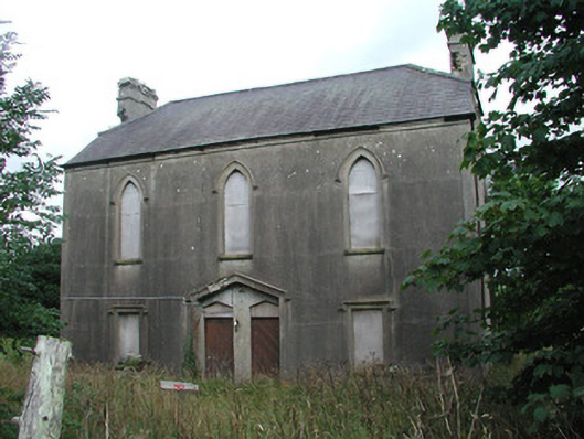 Achonry Parochial Hallchurch hall/parish hall · 1.1 mi
 AbbeyChurch · 1.6 mi
 CastleCastle, unclassified · 2.2 mi
 KnocknasheeMountain / peak · 2.7 mi
 Ballyara Castle (in Ruins)Castle, unclassified · 3.3 mi
 European ashEuropean ash · 4.8 mi
 ElderElder · 4.9 mi
 The Turf Stack RockNamed rock · 6.0 mi
 Old Cave Burial GroundArchaeological place · 6.5 mi