What is recorded here
Half a kilometre south of Sacks Glen, a broad mound of earth and stone still marks the junction of three townlands on Tallaght Hill. It is no longer a proud cairn: a forest road cut through its northern base, a drainage channel scars its body, and a shooting hide sits upon it. Yet the boundary point remains, and the mound still occupies the exact role given it generations before records began. What is left is enough to show that the hill was never empty, even when men stopped remembering why they built there.
The OS Letters for County Dublin (1837) include a sketch map of the Shankill area showing mounds and cairns on the N and E slopes of Carrigollogan (O'Flanagan 1927, opp.13). This cairn has not been precisely located.
Compiled by: Geraldine Stout and Padraig Clancy.
Revised upload on: 21 April 2018.
The monument record does not grant public access. Check the route and ask the landowner before entering private land.
- What survives
- Recorded monument
Places near here
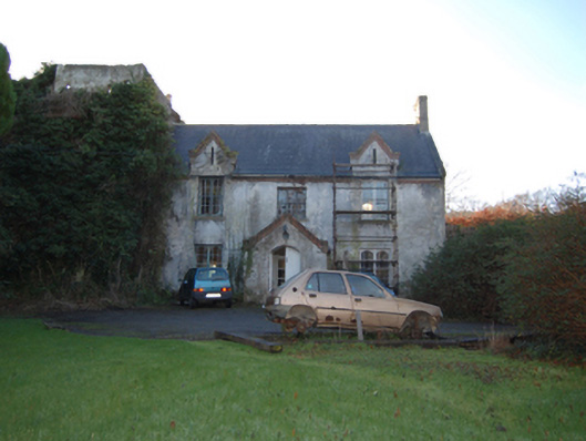 Shankill Castlefarm house · 234 yd
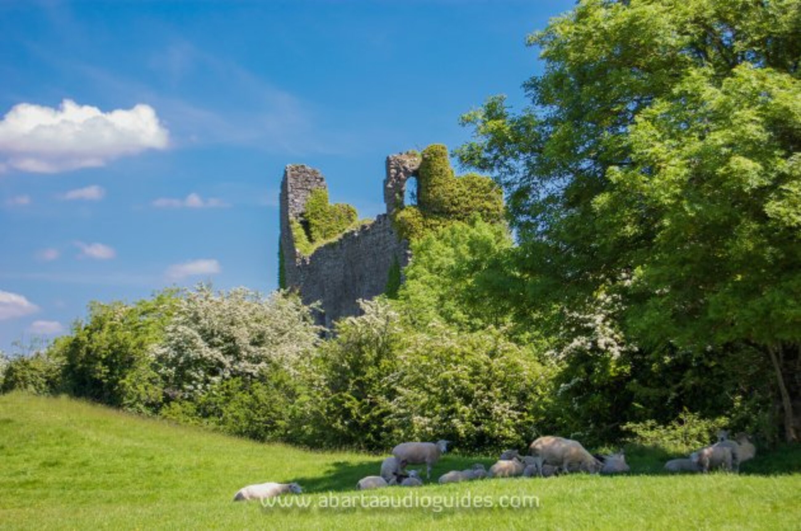 Settlement desertedSettlement deserted, medieval · 347 yd
 Cross (present location) in ShankillCross (present location) · 446 yd
 Lordellogate lodge · 493 yd
 Rathmichael WalkWalking route · 585 yd
 Bawn in RathmichaelBawn · 990 yd
 Puck's CastleCastle · 1020 yd
 Dublin Mountains Way Trailhead SignVisitor information · 1467 yd
 Carrickgollogan HillMountain / peak · 1525 yd
 St. James GateVisitor information · 1681 yd
 Monterey CypressMonterey Cypress · 1.3 mi
 Loughlinstown WoodsNature reserve · 1.4 mi