What is recorded here
Half-buried under gorse and sod on a south-east slope in County Cork, the oval cairn still holds its shape, five metres long and barely sixty centimetres high, with a second cairn waiting sixteen metres to the southwest. It sits among old field boundaries and cutaway bog, the kind of place where people once walked past without thinking the stones unusual. What they set down there, or why they returned to mark it, has gone quiet, but the shape remains, stubborn and plain, holding the hill steady.
In rough hill pasture, in an area of cutaway bog, on a SE-facing slope and within a network of relict field boundaries (CO115-106004-). This oval-shaped cairn (5m E-W; 3.8m N-S; H 0.55m) is largely obscured by gorse-covered sod, though some stones are exposed on the top and along the sides. There is another cairn (CO115-106005-) situated 16m to the SW.
The above description is derived from 'The Archaeological Inventory of County Cork. Volume 5' (Dublin: Stationery Office, 2009).
Date of upload: 22 December 2009
The monument record does not grant public access. Check the route and ask the landowner before entering private land.
- What survives
- Recorded monument
Places near here
 Hut site in Rossmackowen CommonsHut site · 246 yd
 CairnCairn, unclassified · 290 yd
 Holly HillMountain / peak · 640 yd
 Mass-house in ShanacoumhaMass-house · 1442 yd
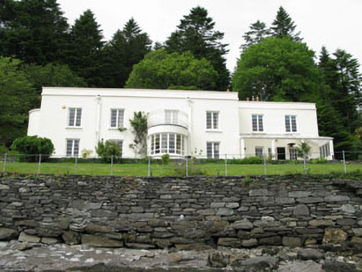 Waterfall Househouse · 1.0 mi
 TrawnablahaBeach / strand · 1.0 mi
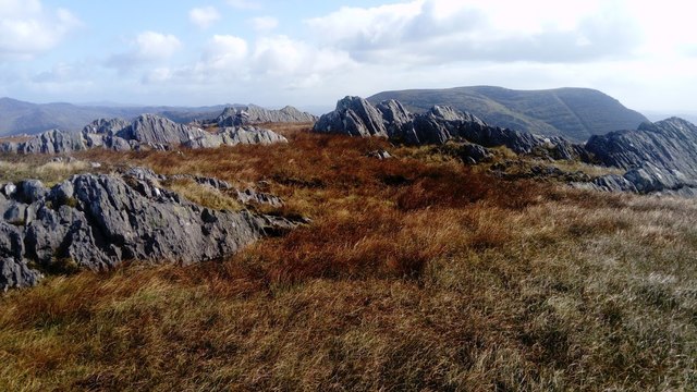 KnocknagreeMountain / peak · 1.6 mi
 Turk IslandIslet · 2.3 mi
 Rerrin LoopWalking route · 2.6 mi
 Mare's Tail WaterfallViewpoint · 2.8 mi
 Beara WayWalking route · 2.9 mi
 Minane IslandIslet · 3.0 mi