What is recorded here
Cairn is a small circular stone ring in rough hill pasture, not a grand monument but a lived marker within old field lines. It sits on an E-facing slope beside cutaway bog, with large stones emerging along the W arc and another cairn a short distance to the E. The gorse-covered sod keeps it half-hidden, which makes it feel less like a museum piece and more like a place people once passed, judged, remembered or left behind.
In rough hill pasture, in an area of cutaway bog, on an E-facing slope and within a network of relict field boundaries (CO115-106004-). This circular cairn (diam. 3m; H 0.75m) consists of a variety of both large and small stones, which are exposed intermittently through the gorse-covered sod. Large stones are exposed mainly along the W arc. Another cairn (CO115-106010-) is c. 6m to the E.
The above description is derived from 'The Archaeological Inventory of County Cork. Volume 5' (Dublin: Stationery Office, 2009).
Date of upload: 22 December 2009
The monument record does not grant public access. Check the route and ask the landowner before entering private land.
- What survives
- Recorded monument
Places near here
 CairnCairn, unclassified · 37 yd
 Hut site in Rossmackowen CommonsHut site · 132 yd
 Holly HillMountain / peak · 843 yd
 Mass-house in ShanacoumhaMass-house · 1642 yd
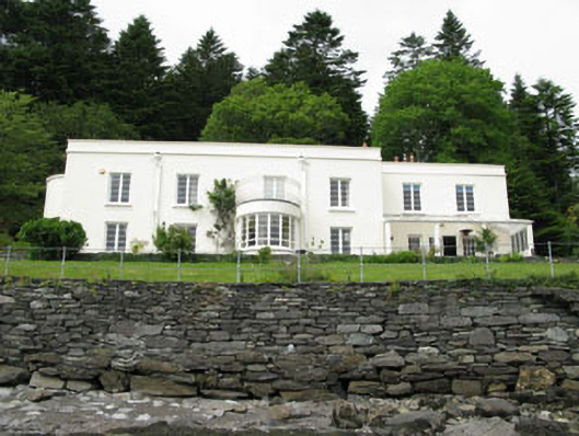 Waterfall Househouse · 1.1 mi
 TrawnablahaBeach / strand · 1.2 mi
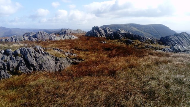 KnocknagreeMountain / peak · 1.5 mi
 Turk IslandIslet · 2.4 mi
 Rerrin LoopWalking route · 2.7 mi
 Mare's Tail WaterfallViewpoint · 2.7 mi
 Beara WayWalking route · 2.8 mi
 Minane IslandIslet · 3.0 mi