What is recorded here
Situated just off the summit of Black Rock Mountain. Th is is an oblong cairn (dims 18.5m NE-SW; 7.3m NW-SE; H 1.6-2m) composed of large granite boulders (dims c. 1.5m x 0.5m x 0.5m). It may have been erected to mark a boundary between townlands. The cairns (WX009-011001-, WX009-011002-) are c. 30m to the SW.
The above description is derived from the published 'Archaeological Inventory of County Wexford' (Dublin: Stationery Office, 1996). In certain instances the entries have been revised and updated in the light of recent research.
Compiled by: Michael Moore
Date of upload/revision: 5 April, 2012
Neolithic cairn; dates to the earlier part of the 4th to 3rd millennia BCE. It represents a form of early megalithic monument used for ritual or commemorative purposes in the prehistoric landscape.
The monument record does not grant public access. Check the route and ask the landowner before entering private land.
- What survives
- Recorded monument
Places near here
 Black Rock MountainMountain / peak · 43 yd
 Structure in Ballycrystal,boladurraghStructure · 379 yd
 Moats of CraanMountain / peak · 1.1 mi
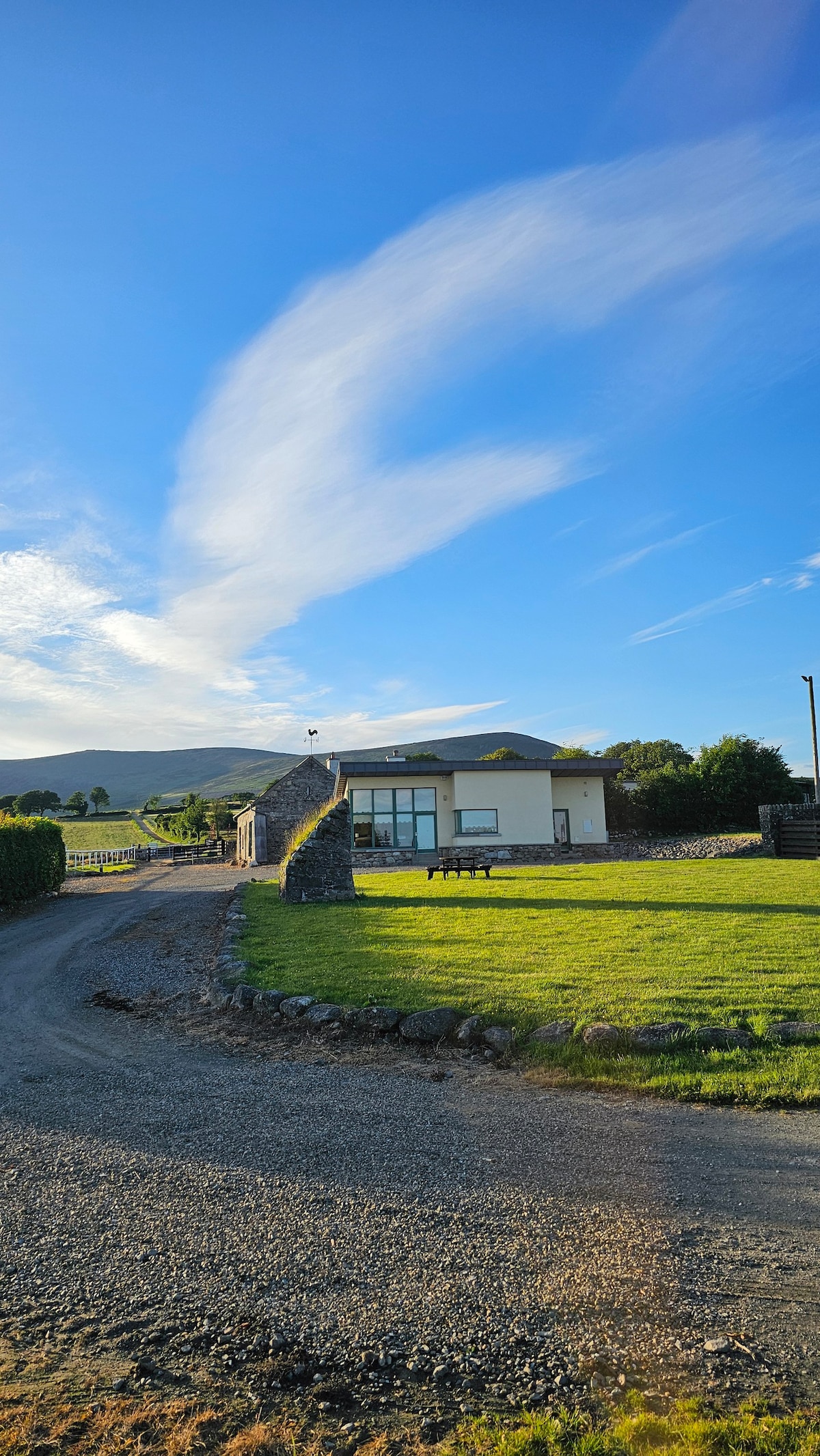 IndicatedEnclosure · 1.5 mi
 St Bridget's WellSpring · 1.7 mi
 Mount LeinsterMountain · 2.1 mi
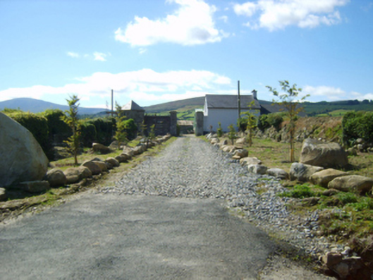 Ballycrystal Housegates/railings/walls · 2.2 mi
 Irish Hangliding and Paragliding AssociationMemorial · 2.2 mi
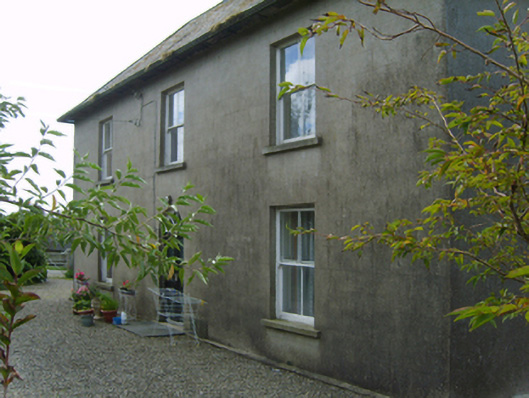 Cromoge Housefarm house · 2.3 mi
 Site of Clonmullen CastleCastle, unclassified · 2.7 mi
 Carrickduff WoodWood · 3.4 mi
 Common LimeCommon Lime · 4.1 mi