What is recorded here
Situated on a marked SW-facing slope just outside the outer rampart of Rathcoran hillfort (WI027-026001-) on the SW side. Circular cairn (diam. 23m; H 1.5m) of small boulders and stones, somewhat denuded at the NE, possibly robbed during the building of the hillfort.
The above description is derived from the published 'Archaeological Inventory of County Wicklow' (Dublin: Stationery Office, 1997). In certain instances the entries have been revised and updated in the light of recent research.
Date of upload/revision: 17 December 2008
Circular cairn, likely dating to the Bronze Age, associated with the nearby Rathcoran hillfort. Its location suggests a funerary or ritual function linked to the hillfort's defensive and ceremonial landscape.
The monument record does not grant public access. Check the route and ask the landowner before entering private land.
- What survives
- Recorded monument
Places near here
 RathcoranArchaeological place · 94 yd
 Rahcoran FortArchaeological place · 171 yd
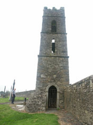 Baltinglass Catholic Chapelchurch/chapel · 1517 yd
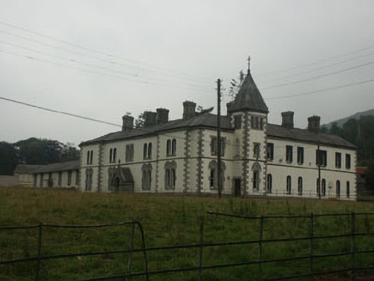 Saint Joseph's Conventconvent/nunnery · 1558 yd
 CastleCastle, tower house · 1.1 mi
 MoatamoyCastle, motte · 1.3 mi
 Tinoran HillMountain / peak · 2.2 mi
 Sam McAllistair GraveMemorial · 2.2 mi
 Saint Brigit's Mass StoneNamed rock · 2.2 mi
 Saint Brigit's ChairNamed rock · 2.4 mi
 Rahill Church (in ruins), GraveyardChurch · 2.7 mi
 Ballyhook HillMountain / peak · 3.3 mi