What is recorded here
In a flat stretch of County Meath, a low mound of grass-covered stones sits quietly, measuring just 4.3 metres across and rising no more than 0.7 metres from the ground. It does not announce itself as ancient monument or ritual site, but rather as a clearance cairn where farmers gathered stones from surrounding fields over generations. Seven metres to the east lies a second cairn, suggesting that whatever activity shaped this corner of Newcastle townland left more than one trace. Whether both mounds are clearance features or one might be something older remains uncertain, for field-clearing has repeated itself across millennia in this low-lying land.
Situated in a low-lying landscape. This is a small grass-covered cairn of fairly small stones (diam. 4.3m; H 0.7m) with larger boulders (diam. c. 0.5m) on the perimeter. It is probably a clearance cairn and cairn (ME009-086002-) is c. 70m) to the E.
Compiled by: Michael Moore
Date of upload: 14 January 2019
The monument record does not grant public access. Check the route and ask the landowner before entering private land.
- What survives
- Recorded monument
Places near here
 IndicatedFairy fort / earthen ringfort · 312 yd
 Enclosure in Newcastle (fore By.)Enclosure · 1037 yd
 Site of Old CastleCastle, unclassified · 1.2 mi
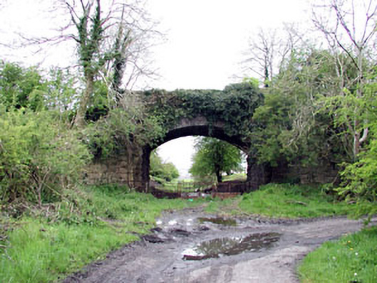 bridgebridge · 1.2 mi
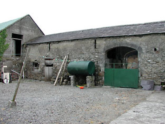 Liss Cottageoutbuilding · 1.3 mi
 Fennor RockMountain / peak · 1.3 mi
 Drumlerry WetlandForest · 1.6 mi
 Fennor LowerMountain / peak · 1.8 mi
 CastleCastle, unclassified · 1.8 mi
 Memorial CrossMemorial · 2.0 mi
 Loughcrew Megalithic TombsHeritage attraction · 2.4 mi
 C11Named rock · 2.5 mi