What is recorded here
Cairn is a cairn, unclassified in Moneygold, County Sligo, Ireland. It occupied a slight north-facing slope in gently undulating pasture, measuring roughly eight metres across and one metre high when recorded in 1991. No stones remain visible at ground level today, but aerial photography reveals a circular outline matching those earlier dimensions.
Situated on a slight N-facing slope in gently undulating pasture. Not indicated on any edition of the OS 6'' map. Recorded in 1991 as roughly circular cairn (base diam. c.8m; H 1m) of rubble stone (SMR (1989) file). There are no remains now visible at ground level. However the outline of a small circular enclosure of similiar dimensions to the cairn recorded in 1991 is visible from aerial photographic coverage (Ortho_ITM). This may mark the outline of the denuded cairn.
Compiled by: Patrick F. O'Donovan
Date of upload: 30 April 2013
A roughly circular cairn of the Bronze Age; its lack of formal classification and absence from historical maps suggest it may represent a local or regional variant. Its survival in an agricultural landscape highlights the presence of prehistoric funerary practices in the area.
The monument record does not grant public access. Check the route and ask the landowner before entering private land.
- What survives
- Recorded monument
Places near here
 Enclosure in MoneygoldEnclosure · 611 yd
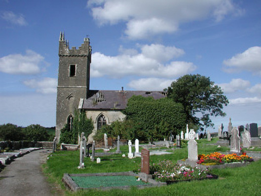 Ahamlish Churchchurch/chapel · 770 yd
 Penitential station in MoneygoldPenitential station · 779 yd
 Cross in MoneygoldCross · 787 yd
 Connors IslandIsland · 959 yd
 InishnagorIslet · 1542 yd
 CastleCastle, unclassified · 1.3 mi
 Atlantic SheepdogsHeritage attraction · 1.9 mi
 Streedagh BeachVisitor information · 2.0 mi
 de Cuellar Armada MonumentMemorial · 2.3 mi
 Trawalua StrandBeach / strand · 2.5 mi
 Classiebawn WoodsWood · 3.4 mi