What is recorded here
Situation: On the summit of a ridge with good views of 360 degrees. Almost due north is the great Sugar Loaf. Condition: In a clump of mixed deciduous trees, with some hawthorn bushes. Otherwise grass covered.
Description: Locally called a 'raheen'.
An oblong cairn (8.8m NNE-SSW at WNW end, 7.2m WNW-ESE, 40cm in height). It is largely robbed, particularly at SE end. No obvious kerb. There is a lot of loose stone scattered around, including some large stone boulders - some may be displaced from the cairn, but some appear to represent quite recent clearance dumped around the perimeter of the site. This material gives the impression of a large cairn but this would appear to be a false impression and the measurements given above are a more accurate impression of the true dimensions (pers. comm. Chris Corlett).
Compiled by: Chris Corlett
Date of upload: 19 October 2012
The monument record does not grant public access. Check the route and ask the landowner before entering private land.
- What survives
- Recorded monument
Places near here
 Church in Kilmullin (newcastle By., Moneystown Ed)Church · 341 yd
 Enclosure in Moneystown NorthEnclosure · 694 yd
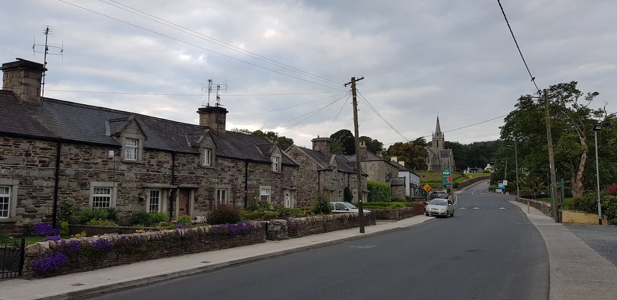 Enclosure in Moneystown SouthEnclosure · 736 yd
 Castle Kevin (in Ruins)Castle, motte and bailey · 1.7 mi
 Devil's Glen WaterfallWaterfall · 1.8 mi
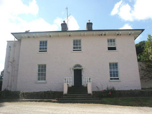 Castlekevin Housecountry house · 1.9 mi
 Devil's Glen WoodForest · 2.2 mi
 BallinacorbegMountain / peak · 2.4 mi
 Carrick MountainMountain / peak · 2.4 mi
 Workers GreenMemorial · 2.9 mi
 Native Woodland Trust: Paddock Hill ReserveWood · 3.7 mi
 CastleCastle, unclassified · 4.2 mi