
What is recorded here
In rough mountain pasture, on the summit of Knockfeerina. A roughly circular flat-topped cairn of stones (22m N-S; 23.5m E-W; H 3.05m at N; 2.8m at E). On its W edge is an abandoned quarry (8m N-S; 6m E-W) where stones have been removed down to underlying bedrock; there are also some small quarried depressions in the SE quadrant of the cairn. Standing in the E quadrant of the cairn is a concrete cross, erected in 1950. Just inside the N edge at the base of the cairn is an OS trigonometrical station. A telecommunications mast stands 10m to the NW. According to MacNeill (1982, vol. 1, 201-6) Knockfeerina 'is one of the most famous fairy hills in Munster ... and gets its name from the fairy-king Donn Fi(fada)rinne' (ibid., 202). The hill was also 'in olden times' (ibid., 205) the site of a Lughnasa assembly. Associated with this was the tradition 'to visit the hill at least once a year and put a stone on the cairn' (ibid.). According to Lynch (1909-11, 108) all the tradition associated with the cairn 'appears to be lost'.
Compiled by: Denis Power
Date of upload: 26 August 2011
A roughly circular flat-topped cairn, likely Bronze Age in date, situated on a mountain summit; its location suggests possible ritual or funerary significance, though its specific function remains unclassified.
The monument record does not grant public access. Check the route and ask the landowner before entering private land.
- What survives
- Recorded monument
Places near here
 KnockfeerinaMountain / peak · 17 yd
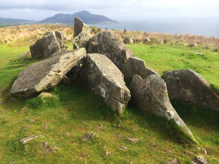 Giants Grave (1924).Wedge tomb · 345 yd
 BarrowBarrow, ring-barrow · 593 yd
 Famine stoneMemorial · 1048 yd
 Abbey (in ruins)Church · 1552 yd
 Ballynahaha Housegates/railings/walls · 1.2 mi
 Kilmacow Ho.Bawn · 1.4 mi
 Castle (in ruins)Castle, tower house · 2.1 mi
 Kinnoor WellSpring · 2.6 mi
 Flat cemetery in Kiltenan SouthFlat cemetery · 3.6 mi
 Our Lady's WellSpring · 3.9 mi
 Dysert AenghusaHeritage attraction · 4.2 mi
Other information
Photo: Credit not shown in the picture search · Rights wording not checked; contact us if this picture should be removed