What is recorded here
Knocknadobar still drops its stones toward the Ferta river and Valencia Harbour, perhaps marking a boundary or feeding the hut below. The oblong shape resists a common cairn definition, suggesting people repeated a deliberate act on that western slope. Flat slabs and a nearby dwelling turn the mountain into a lived landscape rather than a dead monument.
This low cairn is located on the W slopes of Knocknadobar mountain, from where there are far reaching views of the Ferta river estuary and Valencia Harbour. The remains of a substantial hut (KE069-004----) are located downslope to N. The cairn is oblong in plan and is composed mainly of large flat slabs. It measures 6.1m NE-SW x 4.5m NW-SE, and rises to a height of .8m.
The above description is derived from A. O'Sullivan and J. Sheehan (compilers), 'The Iveragh peninsula: an archaeological survey of South Kerry'. Cork University Press (1996), no. 393. In certain instances the entries have been revised and updated in the light of recent research.
Date of upload: 28 July 2013
A Neolithic cairn, likely dating to the 4th to 3rd millennium BCE, associated with early funerary or ritual practices in the region. Its location offers strategic visibility and may reflect settlement patterns linked to nearby hut remains.
The monument record does not grant public access. Check the route and ask the landowner before entering private land.
- What survives
- Recorded monument
Places near here
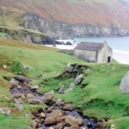 Hut site in Dooneen (iveragh By.)Hut site · 1338 yd
 Hut site in BallydarrigHut site · 1346 yd
 KnocknadobarMountain / peak · 1557 yd
 Knocknadobar North TopMountain / peak · 1.1 mi
 O'Connell Monumentmonument · 2.5 mi
 Carhan Househouse · 2.5 mi
 Short Castle (Site of)Castle, unclassified · 3.6 mi
 Foughil IslandIslet · 3.8 mi
 Ballycarbery CastleRuins · 3.8 mi
 OutlinedBawn · 3.8 mi
 Laharn Bog LoopWalking route · 4.1 mi
 Kells BeachBeach / strand · 4.6 mi