What is recorded here
On the northern slopes of Gearhane, a large stone cairn still holds a central depression, perhaps marking a buried chamber or a forgotten ritual vessel. Two smaller cairns, one long and one bent like an L, may have formed a crude alignment or gathering place. The field club recorded them in 1939, but their exact positions have slipped from modern sight. They remain a lost cluster on the mountain, waiting to be found again.
The Co. Kerry Field Club (1939) recorded a large cairn of stones on the N slopes of Gearhane mountain, about 300m SW of Killelton oratory (KE037-025002-). No measurements were provided but they noted a central depression in its upper surface. Nearby were 2 other cairns, one described as a long cairn aligned E-W and the other L-shaped. The precise location of these features has not been identified.
The above description is derived from J. Cuppage, ‘Corca Dhuibhne. Dingle Peninsula archaeological survey. Ballyferriter. Oidhreacht Chorca Dhuibhne’ (1986), no. 236. In certain instances the entries have been revised and updated in the light of recent research.
Date of upload: 4 August 2013
A Neolithic cairn; likely dates to the early to middle Neolithic period (c. 4000–2500 BCE). Its central depression may indicate a ritual or burial function, typical of passage tomb traditions in the region.
The monument record does not grant public access. Check the route and ask the landowner before entering private land.
- What survives
- Recorded monument
Places near here
 Killelton Church (in ruins)Church · 661 yd
 Hut site in Knockglass BegHut site · 1623 yd
 Man-made underground passage in Knockglass Beg,knockglass MoreMan-made underground passage · 1.0 mi
 GearhaneMountain / peak · 1.1 mi
 bridgebridge · 1.6 mi
 CastleCastle, unclassified · 1.6 mi
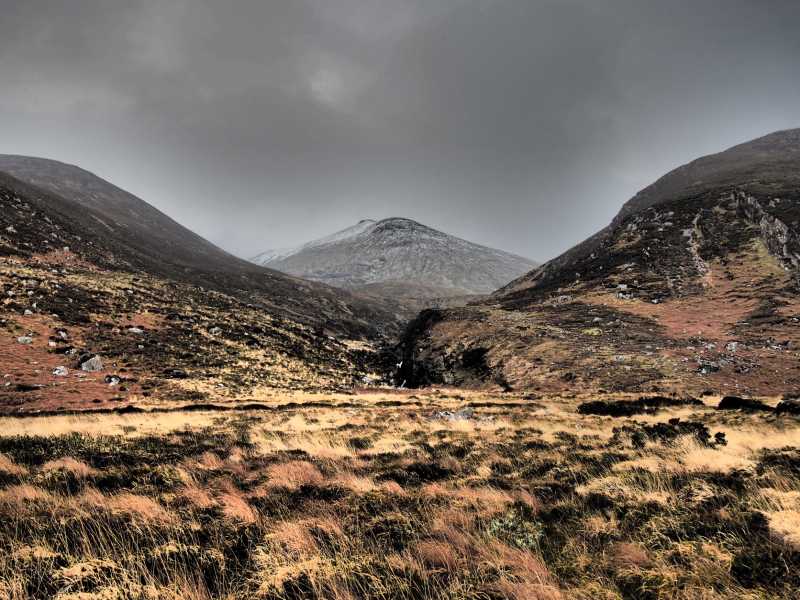 Baurtregaum NW TopMountain / peak · 1.6 mi
 Site of Camp CastleCastle, unclassified · 1.7 mi
 Faisr's GraveArchaeological place · 1.8 mi
 Graveyard in Baile An Chnocáin (tc An Cnoc Glas)Graveyard · 2.2 mi
 Derrymore Island Nature ReserveNature reserve · 2.6 mi
 Samphire IslandIslet · 3.1 mi