
What is recorded here
Lissadavdarrig/Lios an Daimh Deirg: Situated on a very gentle N facing slope about 265m from the S shore of Tralee Bay.
The only features in the interior are a small horseshoe-shaped depression, .25m deep, and 2 blocked-up openings which formerly provided access to a Man-made underground passage (local information).
The above description is derived from J. Cuppage, ‘Corca Dhuibhne. Dingle Peninsula archaeological survey. Ballyferriter. Oidhreacht Chorca Dhuibhne’ (1986), no. 583. In certain instances the entries have been revised and updated in the light of recent research.
Date of upload: 7 August 2013
The monument record does not grant public access. Check the route and ask the landowner before entering private land.
- What survives
- Recorded monument
Places near here
 Hut site in Knockglass BegHut site · 225 yd
 Killelton Church (in ruins)Church · 1251 yd
 Curraduff Bridgebridge · 1277 yd
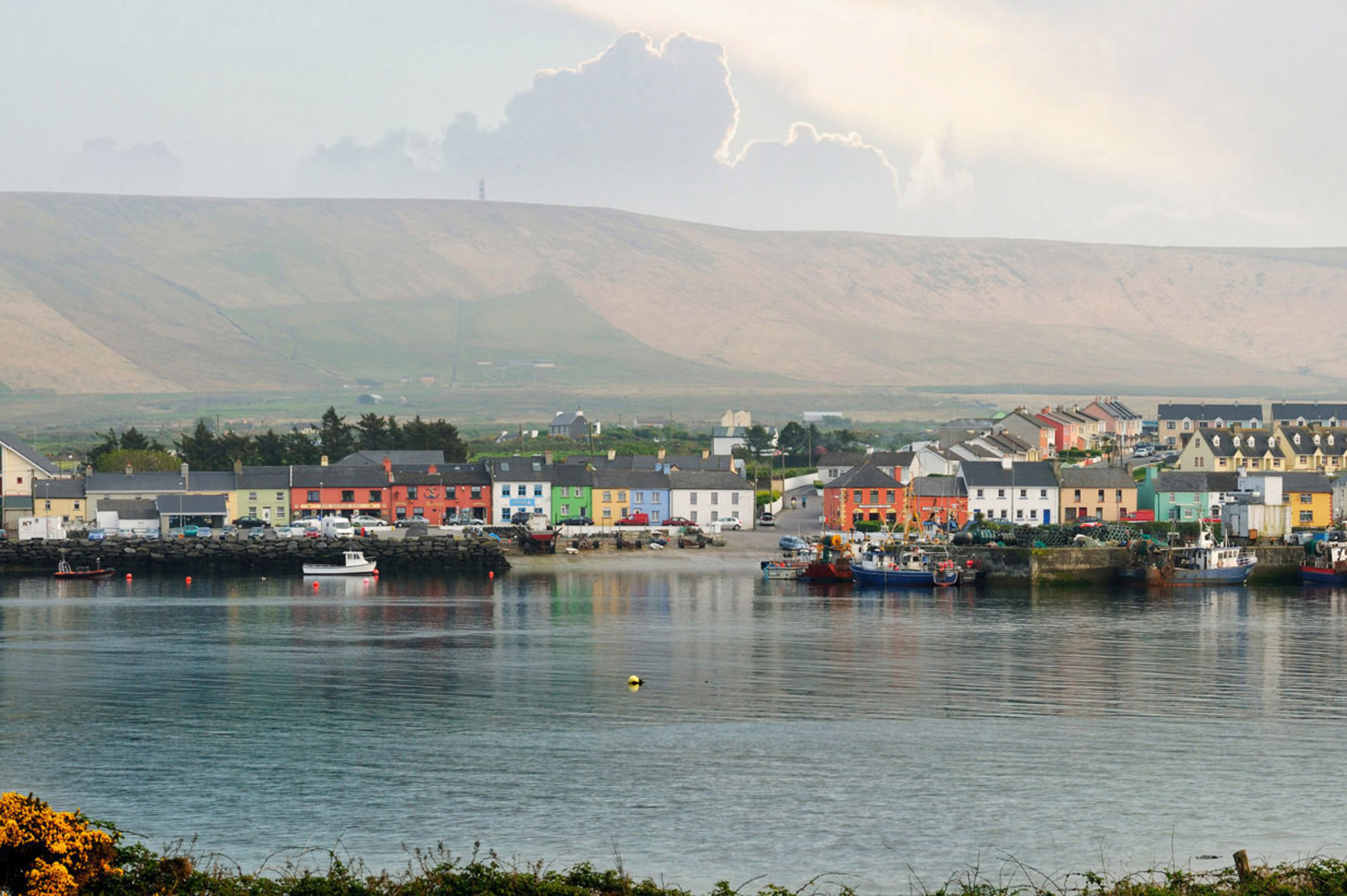 LisnaheirkaArchaeological place · 1469 yd
 Site of Camp CastleCastle, unclassified · 1509 yd
 Faisr's GraveArchaeological place · 1.1 mi
 Graveyard in Baile An Chnocáin (tc An Cnoc Glas)Graveyard · 1.1 mi
 CastleCastle, unclassified · 1.1 mi
 GearhaneMountain / peak · 1.9 mi
 CorrinMountain / peak · 2.1 mi
 Samphire Island LittleIslet · 3.0 mi
 Samphire IslandIslet · 3.2 mi
Other information
Photo: Credit not shown in the picture search · Rights wording not checked; contact us if this picture should be removed