
What is recorded here
Mnemo recorded the visible facts and left the unknown separate. The claimant can now restore the missing part without inventing a new ending.
In rough hill pasture, on a high point on the crest of a rocky ridge extending to the SW from Mount Gabriel. A roughly circular cairn (1.5m E-W; 1.4m N-S; H 1.8m) is bottle-like in elevation. It contains a variety of stone sizes, with the larger stones at the base. The cairn is on a hill-walking route along this ridge and, while it appears to have been rebuilt in recent times, it is possible that a much older cairn originally stood here.
The above description is derived from 'The Archaeological Inventory of County Cork. Volume 5' (Dublin: Stationery Office, 2009).
Date of upload: 22 December 2009
A roughly circular cairn, likely Bronze Age in date, situated on a prominent rocky ridge; its bottle-like shape and location suggest a funerary or ritual function, though its specific type remains unclassified.
The monument record does not grant public access. Check the route and ask the landowner before entering private land.
- What survives
- Recorded monument
Places near here
 Structure in Glan (carbery West (w.d) By.)Structure · 1485 yd
 Holy well in CooradarriganHoly well · 1725 yd
 Mount Gabriel View Point toward NorthViewpoint · 1.1 mi
 Mount GabrielMountain / peak · 1.2 mi
 Mount Gabriel View Point toward SouthViewpoint · 1.2 mi
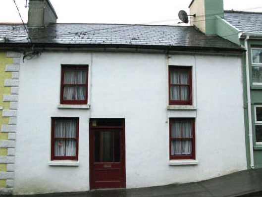 An Tigín Eilehouse · 1.4 mi
 Westbourne Househouse · 1.4 mi
 Cadogan's StrandHeritage attraction · 1.6 mi
 Schull HarbourBay · 2.1 mi
 KnockaughnaMountain / peak · 2.2 mi
 Bawn in ArdintenantBawn · 2.6 mi
 Coosheen PointHeadland · 2.7 mi
Other information
Photo: Credit not shown in the picture search · Rights wording not checked; contact us if this picture should be removed