What is recorded here
Cairn is a cairn (unclassified) in Garryroan, County Tipperary, Ireland. It forms a large oval mound 21m from northeast to southwest and 15.1m from northwest to southeast, built of small sandstone stones. The mound reaches 2.11m in height, has gently sloping sides and a fairly flat top marked by two circular depressions about 2m across and 1m apart.
On level ground in gently undulating terrain. Another similar cairn (TS081-032----) is visible 340m to the NNW. A cairn (TS075-064----) is visible on the Galtee Mountains, c. 6km to the NE, the Knockmealdown Mountains dominate the view to the S. A large oval mound (dims. 21m NE-SW; 15.1m NW-SE) composed of small sandstone stones. It is fairly flat topped with two circular depressions (diam. c. 2m) on top of the mound, approximately 1m apart. It has gently sloping sides (H 2.11m).
Compiled by: Jean Farrelly
Date of upload: 15 January 2014
The monument record does not grant public access. Check the route and ask the landowner before entering private land.
- What survives
- Recorded monument
Places near here
 Water millWater mill, unclassified · 457 yd
 Enclosure in ScartanaEnclosure · 504 yd
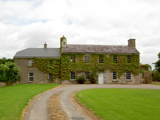 Garryroan Househouse · 1468 yd
 Ecclesiastical enclosure in WhitechurchEcclesiastical enclosure · 1568 yd
 Garrycloher WoodForest · 1.1 mi
 CastleCastle, motte · 1.7 mi
 Roosca CastleCastle · 1.9 mi
 Cottagehill WoodForest · 2.3 mi
 Cahir CastleHeritage attraction · 3.0 miSiege of Cahir Castlesiege · 3.1 mi
 Woodcock HillMountain / peak · 3.2 mi
 Caher AbbeyHeritage attraction · 3.3 mi