What is recorded here
Cairn C30 is an unclassified oval mound in County Carlow, measuring five metres northwest to southeast and three metres northeast to southwest. It sits heavily overgrown with burnt heather and grass, hiding its shape beneath a thick carpet of vegetation. The mound belongs to a large group of similar cairns, suggesting a settled landscape where people returned repeatedly to mark or bury. Its unclassified status leaves the purpose open, but its size and company point toward a place of memory rather than a random heap of stones.
An oval cairn (5m NW-SE; 3m NE-SW; max. H c. 1.2m) heavily overgrown with burnt heather and grass. Recorded by Ó Murchú (2011, 79) as part of a Master's thesis (Survey number: C30). One of a large group of cairns (see CW026-019----).
Compiled by: Claire Breen
Date of upload: 11 November 2013
The monument record does not grant public access. Check the route and ask the landowner before entering private land.
- What survives
- Recorded monument
Places near here
 Enclosure in DranaghEnclosure · 287 yd
 Enclosure in BallycrinniganEnclosure · 988 yd
 CarrigvahanaghMountain / peak · 1583 yd
 Saint Moling's Catholic Churchchurch/chapel · 1.6 mi
 White MountainMountain / peak · 1.6 mi
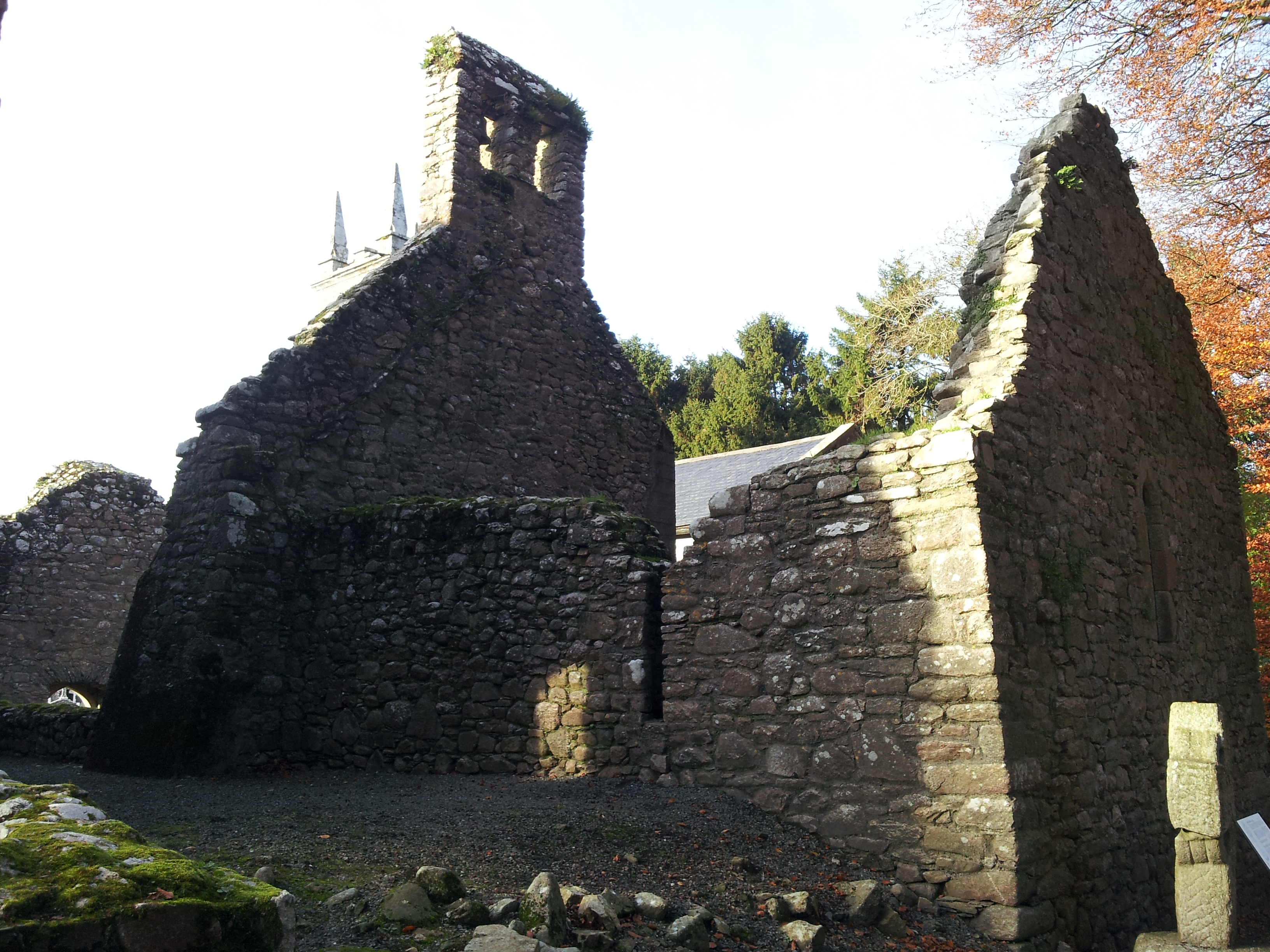 St. Mullins Oratory (in Ruins)Church · 1.7 mi
 Pollmounty Castle (in Ruins)Castle, tower house · 2.0 mi
 Silver WattleSilver Wattle · 2.1 mi
 1798 RebellionMemorial · 2.3 mi
 Graveyard in St. Mullin'sGraveyard · 2.3 mi
 St. Mullins MoatCastle, motte and bailey · 2.4 mi
 Bahana WoodForest · 2.7 mi