What is recorded here
Located at the summit of a hill at the S foothills of the Monavullagh Mountains. Subcircular cairn (dims. 21m E-W; 19m N-S; H 2-2.4m) with a hollow (diam. 5m; D 1m) at the centre. Numerous wind-shelters have been excavated into the cairn, but there is no evidence of a kerb or of internal structures.
The above description is derived from the published 'Archaeological Inventory of County Waterford' (Dublin: Stationery Office, 1999). In certain instances the entries have been revised and updated in the light of recent research.
Date of upload/revision: 21st April, 2011.
A subcircular cairn, likely Bronze Age in date, with a central hollow and wind-shelters, representing a common funerary or ritual monument type in upland areas of Ireland. Its location on a prominent hilltop suggests it may have had ceremonial or territorial significance.
The monument record does not grant public access. Check the route and ask the landowner before entering private land.
- What survives
- Recorded monument
Places near here
 Deelish MountainMountain / peak · 3 yd
 Piles of StonesCairn, boundary cairn · 874 yd
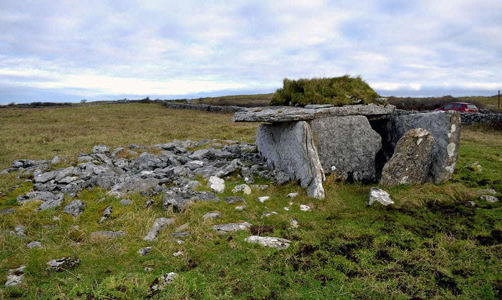 Megalithic structure in BallintoorMegalithic structure · 1101 yd
 CrohaunMountain / peak · 1.1 mi
 Church in Kilnafrehan EastChurch · 1.2 mi
 Church in Shanbally (decies Without Drum By.)Church · 1.4 mi
 Horse-chestnutHorse-chestnut · 2.0 mi
 Castle (in ruins)Castle, tower house · 2.2 mi
 Bawn in BarnankileBawn · 2.2 mi
 Standing StoneMemorial · 3.2 mi
 Dungarvan CastleCastle · 4.0 mi
 Dungarvan World War I MemorialMemorial · 4.0 mi