What is recorded here
Cairn is a cairn (unclassified) in Curraghcloney (newcastle Par.), County Tipperary, Ireland. It is one of four small cairns, possibly field clearance cairns, clustered near a standing stone pair on a broad, flat break of a northwest-facing slope in upland pasture. The nearest sits 14 metres to the northwest, while the others reach 33, 49 and 41 metres away toward the northwest, north-northwest and north-northeast. Their sizes span from 2.6 by 4.8 metres with 0.26 metre height to 4.3 by 5.8 metres with 0.43 metre height.
On the broad, flat break of a NW-facing, gently undulating, slope in upland terrain, under pasture. Four small cairns, possibly field clearance cairns, are located in the immediate vicinity of a standing stone pair (TS091-004----). The closest is 14m to the NW, the others are 33m, 49m and 41m to the NW, NNW and NNE respectively. The cairns range in size from the smallest (dims. 2.6m x 4.8m; H 0.26m) to the largest (dims. 4.3m x 5.8m; H 0.43m).
Compiled by: Jean Farrelly
Date of upload: 25 February 2014
The monument record does not grant public access. Check the route and ask the landowner before entering private land.
- What survives
- Recorded monument
Places near here
 Curraghcloney CastleCastle · 340 yd
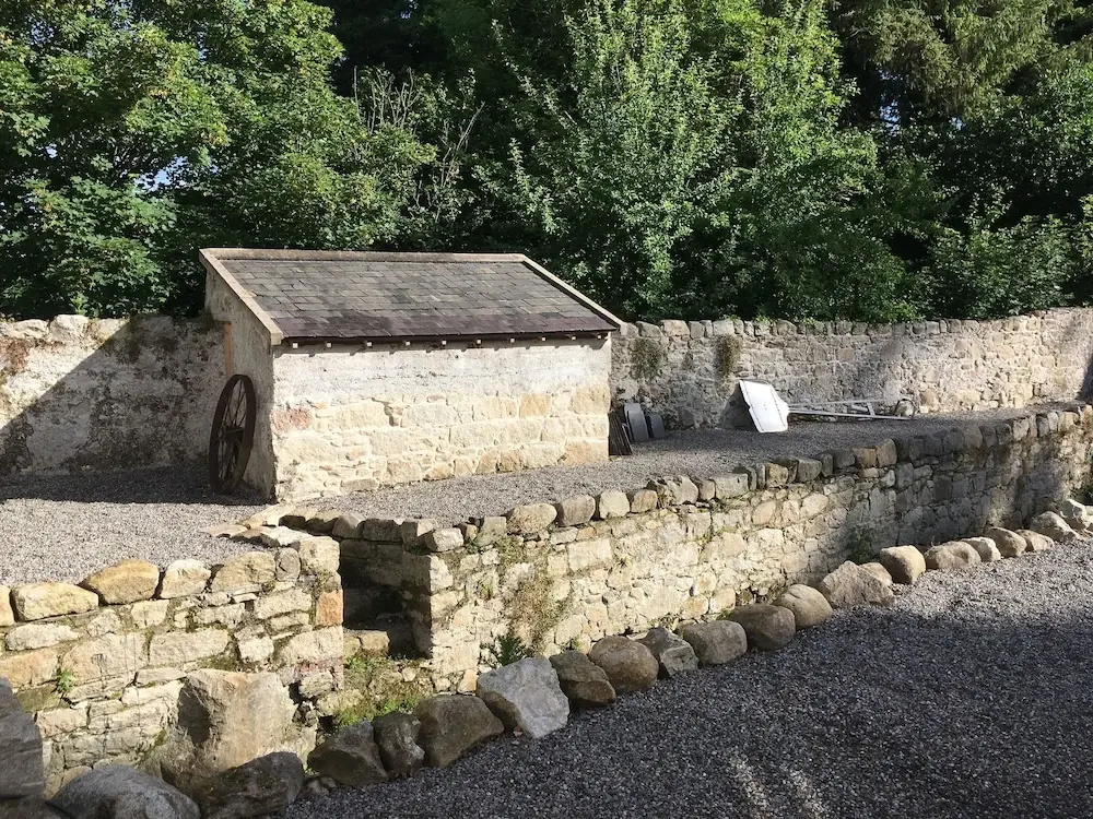 Enclosure in Clashganny WestEnclosure · 1.5 mi
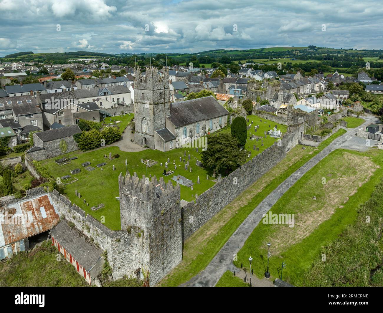 Hut site in Clashganny WestHut site · 1.5 mi
 IndicatedChurch · 1.6 mi
 Historic buildingOfficially recorded historic building · 2.0 mi
 Castle Coonagh (in ruins)Castle, tower house · 2.2 mi
 BroemountainMountain / peak · 2.6 mi
 Pigeon HillMountain / peak · 3.2 mi
 Laeka WoodWood · 3.3 mi
 European long distance path E8 - part IrelandWalking route · 3.9 mi
 Turraphuca WoodForest · 4.7 mi