What is recorded here
No credible evidence exists that the quadrant cairn in Coill Bhaile Uí Fhlaithimh marked burial, worship or boundary ceremony. Its straight edges, ruined wall and protruding stone line fit a dismantled field heap better than a deliberate monument. That does not diminish it; it belongs to the longer Dingle history of people changing land without being remembered.
In pasture, on the lower W-facing slopes of Knockowen. A circular mainly grass-covered cairn (diam. 5m; H 0.45m) with stones exposed on its flat top. There is a standing stone (KE109-014008-) c. 6m to the NW.
The above description is derived from the published 'Archaeological Inventory of County Kerry. Volume I: South-West Kerry' (Dublin: Stationery Office, 2009). In certain instances the entries have been revised and updated in the light of recent research.
Date of upload: 30 May 2011
A Bronze Age cairn; its association with a standing stone suggests ritual or funerary significance.
The monument record does not grant public access. Check the route and ask the landowner before entering private land.
- What survives
- Recorded monument
Places near here
 Clogherane Br.Bridge · 257 yd
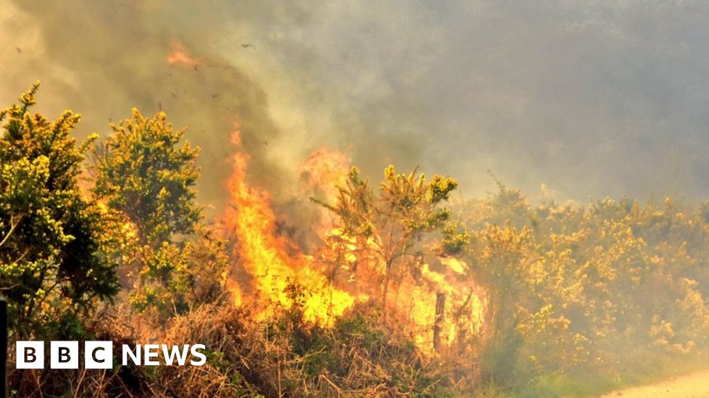 Burnt spread in ClogheraneBurnt spread · 281 yd
 Elistragh Br.Bridge · 401 yd
 IndicatedFairy fort / stone ringfort · 592 yd
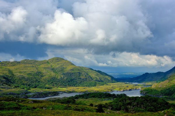 StokeennalackarehaMountain / peak · 834 yd
 KnockastumpaMountain / peak · 1033 yd
 Duck RockIslet · 1350 yd
 IllaunateeIslet · 1378 yd
 New Zealand broadleafNew Zealand broadleaf · 2.2 mi
 Japanese cedarJapanese cedar · 2.2 mi
 DroppaCliff · 3.2 mi
 Mare's Tail WaterfallViewpoint · 3.5 mi