What is recorded here
On top of a N-S ridge. A poorly preserved circular area (diam. 11.9m) defined by a number of granite stones. Two unclassified cairns (WI021-017001-, WI021-017002-) lie c. 140m to the SSW.
Compiled by: Mary Tunney
Date of upload: 5 December 2012
The monument record does not grant public access. Check the route and ask the landowner before entering private land.
- What survives
- Recorded monument
Places near here
 English hollyEnglish holly · 505 yd
 Druidical CircleStone circle, embanked · 837 yd
 Enclosure in Castleruddery LowerEnclosure · 855 yd
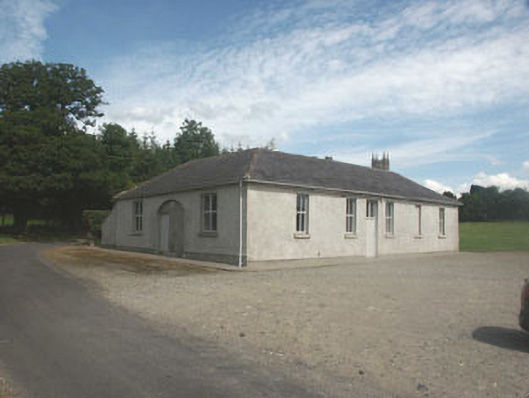 Donaghmore National Schoolschool · 896 yd
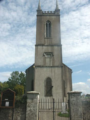 Donaghmore Churchchurch/chapel · 955 yd
 Castleruddery MotteArchaeological place · 1052 yd
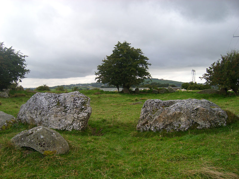 CastleCastle, motte · 1108 yd
 Pedunculate OakPedunculate Oak · 2.1 mi
 Ballyhook HillMountain / peak · 2.3 mi
 Saint Brigit's ChairNamed rock · 3.1 mi
 Saint Brigit's Mass StoneNamed rock · 3.1 mi
 PinnacleMountain / peak · 3.2 mi